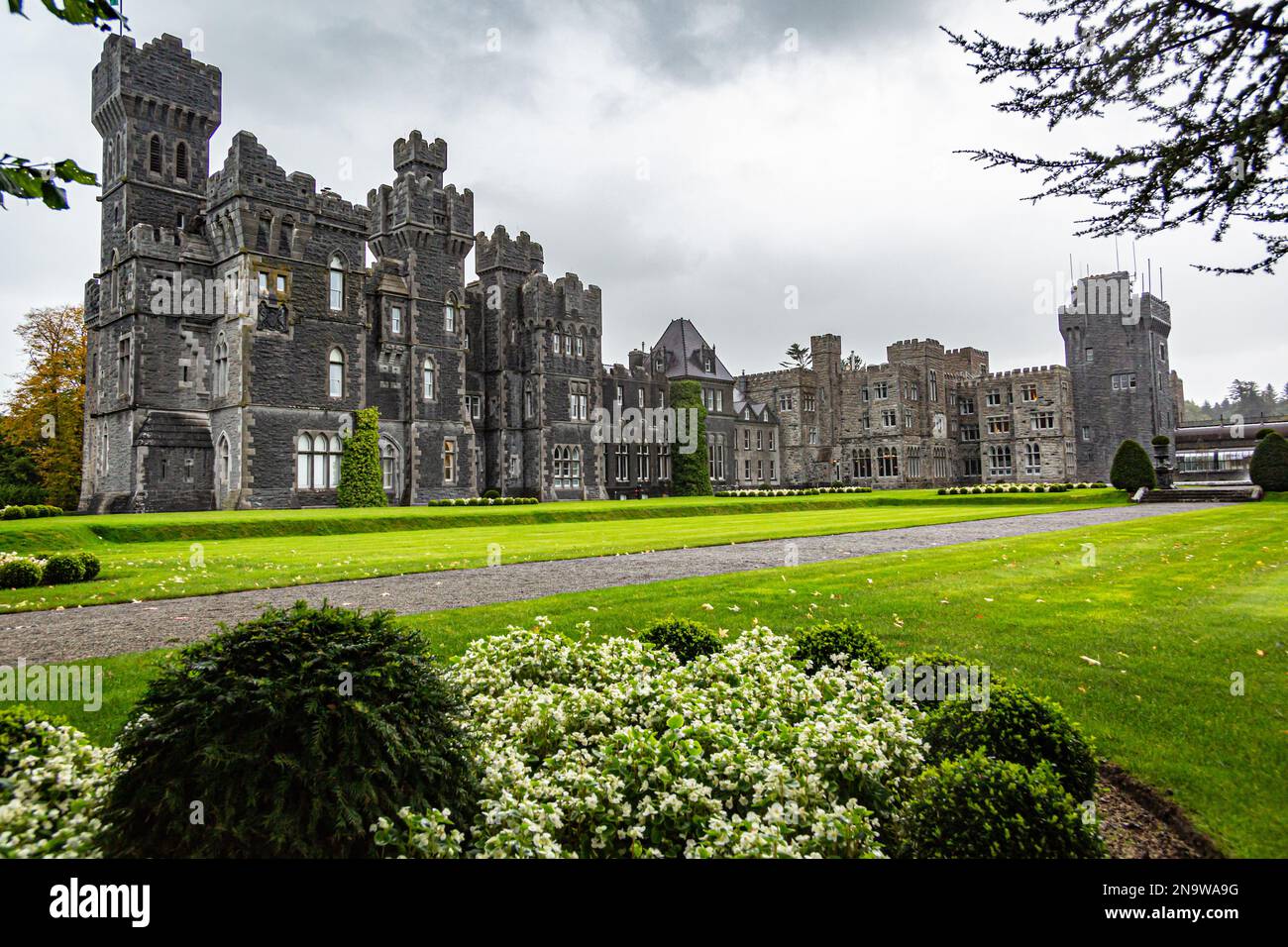
Add your own picture and explain the route, parking, gates, paths or landmarks that help people find it.
Earn 5 points after the picture is checked and accepted.
Add your photo and local directionsShare what you foundWhat is recorded here
In pasture, located on a slight rise. Views are best to S and W; generally not extensive, restricted now by high field fences/hedgerows.
Slightly raised circular area (34m N−S; 34.5m E−W) enclosed by an earthen bank (Wth 3.65m at E, 2.6m at W; int. H 0.65m at E, 0.45m at W; ext. H 1.4m at E, 1.2m at W). Stones protruding on the inner face may be remnants of stone facing or a kerb. The profile of the bank is broad and low; a section at NE is narrower (Wth 1.7m) with a pointed top, and incorporates much stone, suggesting recent modification –a low berm (Wth c. 1m) on its outer edge probably indicates the original width of the bank here.
Outside the bank at SW−W there is a slight, indistinct depression (Wth 1-2m). It might be evidence of a fosse, but could also be the result of recent disturbance; it cannot be traced elsewhere around the circuit.
There are narrow, eroded breaks in the bank at NNE and SSW; a gap (Wth 1.4m) at SE might mark an original entrance.
A field fence has been built against the external face of the bank on the S arc, and the bank is topped with post and wire fencing at W. Another field fence abuts the rath at N. Interior is level and grassy, with clumps of gorse in the NW quadrant, and moderate hawthorn and gorse around the perimeter. A roughly circular pit (diam. 4m) has been dug in recent times immediately to NW of the rath.
Compiled by: Jane O'Shaughnessy
Date of upload: 26 June 2020
The monument record does not grant public access. Check the route and ask the landowner before entering private land.