Add your own picture and explain the route, parking, gates, paths or landmarks that help people find it.
Earn 5 points after the picture is checked and accepted.
Add your photo and local directionsShare what you foundWhat is recorded here
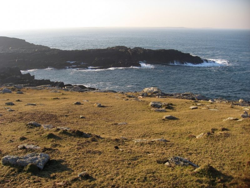
In pasture, located on the S half of Annagh Island in the NE end of Lough Conn. It utilises a rise with a fall of ground on the E side, and has excellent views across the lake and E to the mainland.
This enclosure, most likely a rath, has been levelled. It is indicated on the 1838 and 1930 OS 6-inch maps as a circular embanked enclosure (diam. c. 30m), with an E–W field fence extending to E and W of the bank. The circular outline (diam. 35m) of the rath which can still be traced, bisected by the E-W field fence. The N arc of the rath is barely discernible; the S half is evident as a low semicircular platform defined by a partly levelled scarp (H 0.7m).
Compiled by: Jane O'Shaughnessy
Date of upload: 21 February 2020
The monument record does not grant public access. Check the route and ask the landowner before entering private land.