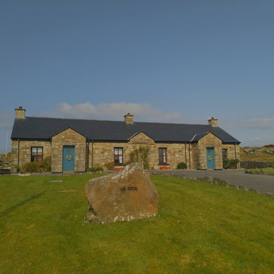
Add your own picture and explain the route, parking, gates, paths or landmarks that help people find it.
Earn 5 points after the picture is checked and accepted.
Add your photo and local directionsShare what you foundWhat is recorded here
In pasture, located at the NNE end of a low ridge, with a slight fall of ground at E–SE. In an area of gently undulating terrain of mixed pasture and bog. There is a lake, Lough Nathim, bordered by tracts of bog, c. 230m to W.
Raised circular area (29m N–S; 28.3m E–W) defined by a substantial earthen bank (Wth 4.6m at SW, 5m at NW; int. H 0.8m at SW, 0.5m at NW; ext. H 1.3m at SW, 2.2m at NW). The bank is composed of sandy soil and incorporates stones in parts. The NE–S arc of the bank has been adapted to serve as a property boundary: the inner and outer faces have been cut to the vertical and faced and topped with stones. At NNW–N a section of the external face, which is quite severely eroded, has been partly infilled with a heap of field clearance boulders. There is a shallow dip (Wth 4-4.5m) immediately outside the bank at SW, bordered externally by a slight rise in ground level. This may indicate a fosse, but it is not evident elsewhere around the circuit. In the interior a slight rise in ground level is evident in the W-SW quadrant, which may indicate the location of a souterrain (MA038-068001-). Remnants of a field bank traverse the interior on a NNE–SSW axis slightly E of centre. There is hawthorn and gorse on the bank, particularly dense at E, where it is incorporated into a field boundary.
Compiled by: Jane O'Shaughnessy
Date of upload: 31 July 2019
The monument record does not grant public access. Check the route and ask the landowner before entering private land.