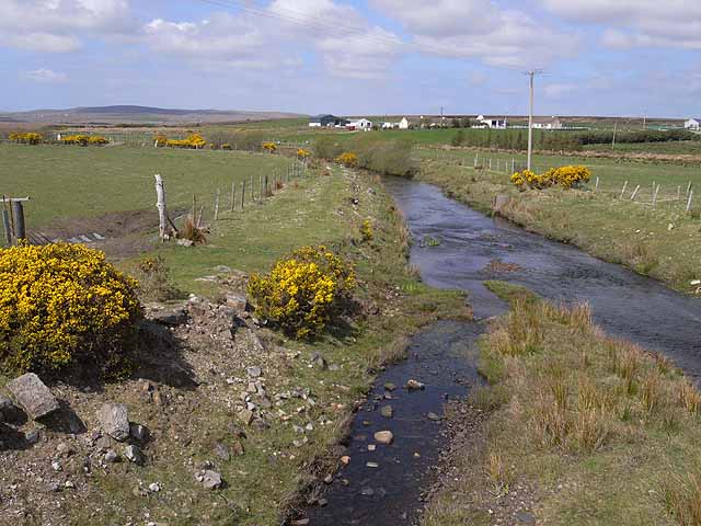
Add your own picture and explain the route, parking, gates, paths or landmarks that help people find it.
Earn 5 points after the picture is checked and accepted.
Add your photo and local directionsShare what you foundWhat is recorded here
In average pasture, located on a slight rise. The ground rises to E and more gently to NNW.
Roughly circular, earthen platform (top diam. 13.6m ENE–WSW; 10.5m NNW–SSW) defined by a scarp (Wth slope 2.2m at SW, 3m at NE; H 1.4m at SW, 1.6m at NE). The scarp appears somewhat lower or slumped at S. The top of the platform is generally level, but the SW part rises to a slightly higher level than the E. At the base of the platform at S–SW there is a slight terrace (Wth 1.4m; ext. H 0.4m) or outer scarp which changes at W–NW to a broadly slumped slope. The platform is grass covered, with a single hawthorn bush on the E side. This may be the remnants of a rath, althrough the diameter falls at the lower end of the size range for raths.
Compiled by: Jane O'Shaughnessy
Date of upload: 12 April 2018
The monument record does not grant public access. Check the route and ask the landowner before entering private land.