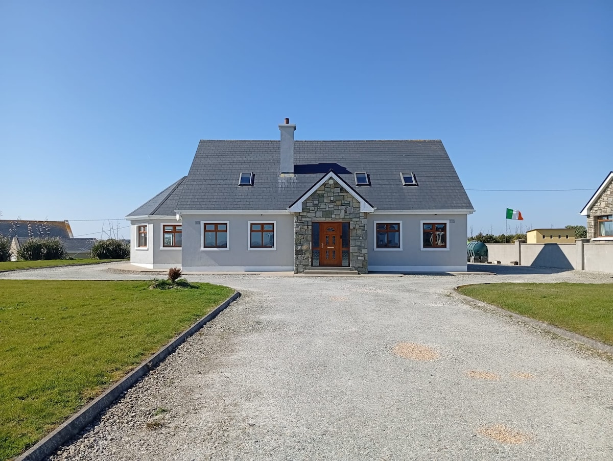
Add your own picture and explain the route, parking, gates, paths or landmarks that help people find it.
Earn 5 points after the picture is checked and accepted.
Add your photo and local directionsShare what you foundWhat is recorded here
In pasture, prominently sited on the broad, level top of a knoll, with panoramic views over the surrounding undulating grassland. It is located in the SW of Townplots West townland, close to the boundary junction with two other townlands, Rathowen East and Castlereagh.
This rath is named ‘Rathlowagh’ on the 1838 and 1929 OS 6-inch maps. It consists of a raised circular area (int. diam. 18.8m E–W; 20m N–S) defined by an earthen bank, and enclosed by a fosse and external bank. The inner bank (Wth 5m at NE, 5.9m at SW; int. H 0.4m at NE, 0.25m at SW; ext. H 2.6m at NE, 2.8m at SW) is low internally, but has a pronounced, broadly slumped external slope. Cockle shells were visible in the earthen makeup of the inner bank, c. 1m below the top on its external face, just to N of the entrance. The fosse (Wth 3m at NE, 2.8m at SW) and external bank (Wth 3.6m at NE, 3.1m at SW; int. H 0.35m at NE, 0.45m at SW; ext. H 0.7m at NE, 0.6m at SW) are well preserved at N and S but less clearly defined elsewhere. At W, the fosse is evident as a terrace scarped into the knoll slope.
At SW–N the enclosing elements are enhanced by the naturally steep slope of the knoll. At NE-SE the slope is more gradual, and the entrance is located on this side. It consists of a gap (Wth 2.7m) in the inner bank at E, with a ramp-like causeway across the fosse, leading to an area of fairly level ground which extends eastwards from the rath.
There is an L-Shaped linear sunken feature in the S half of the interior, which may represents a robbed-out souterrain (MA022-003001-).
The interior is grassy, with some blackthorn encroachment at S; hawthorn, blackthorn and brambles ring the perimeter.
There is an enclosure (MA022-004----) c. 30m to S, a rath (MA022-005----) c. 100m to SE, a rath (MA022-002----) c. 150m to WSW, and an enclosure (MA022-001----) is visible in the distance c. 300m to NW.
Compiled by: Jane O’Shaughnessy
Date of upload: 11 March 2019
The monument record does not grant public access. Check the route and ask the landowner before entering private land.