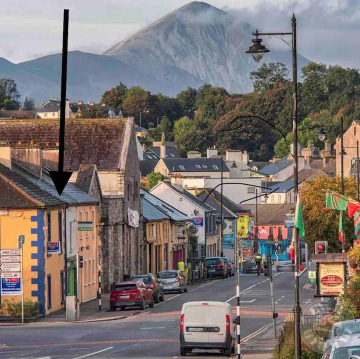
Add your own picture and explain the route, parking, gates, paths or landmarks that help people find it.
Earn 5 points after the picture is checked and accepted.
Add your photo and local directionsShare what you foundWhat is recorded here
In pasture, located on an elevation, in an area of gently undulating grassland, with extensive views in all directions, including Rathfran Bay to N and Killala Bay to S.
This rath consists of a broadly oval, raised area (25.5m N–S; 30.8m E–W) defined by remnants of an earthen bank. The bank (Wth c. 5m; int. H 0.4m; ext. H 1.8m) is best preserved at S–SW. Elsewhere it survives as a scarp which retains a slight internal lip. The scarp has a pronounced external slope (max. ext. H 2.5m at W) at SW−N, but is lower at NE−E (ext. H 0.65m at E). Outside the bank at NW–N there is a slight depression (Wth c. 4m) which may indicate a fosse. The interior is generally level, but appears slightly lower at E. Slight remains of a linear bank (Wth 1m) extends on a roughly E–W axis across the S half of the interior, and a similar feature is visible in the N half of the interior; they may be relict cultivation ridges. At NW, close to the bank, a roughly circular pit (7m NE–SW; 5.5m NE–SE; D 0.8m) has been quarried into the interior.
Compiled by: Jane O’Shaughnessy
Date of upload: 15 November 2018
The monument record does not grant public access. Check the route and ask the landowner before entering private land.