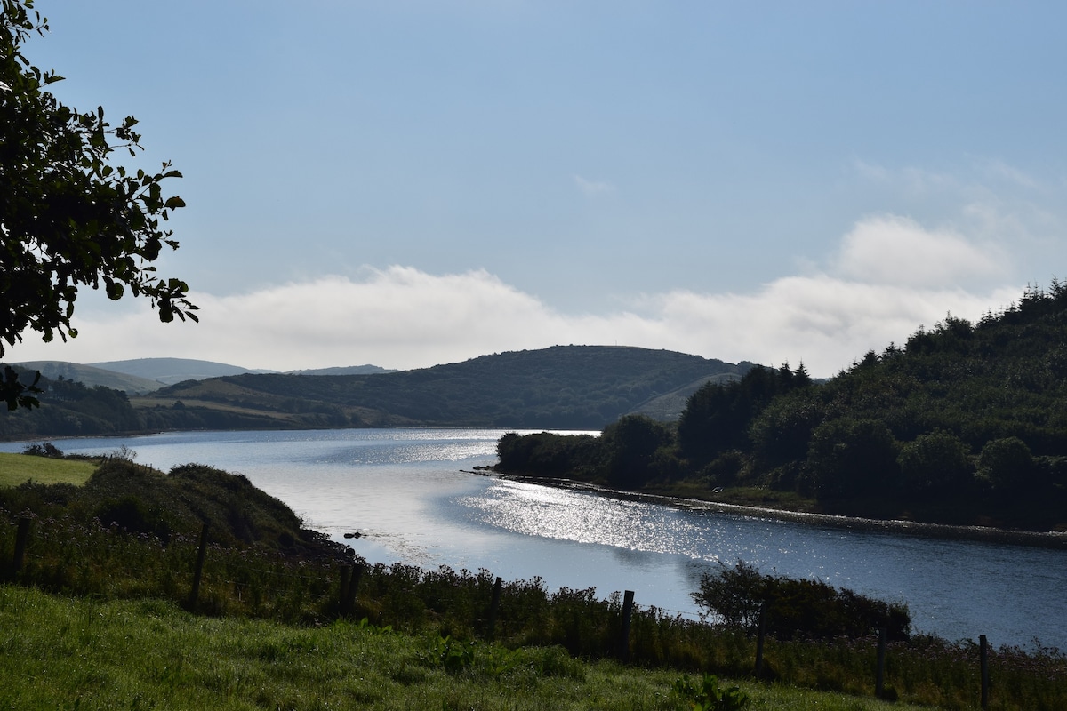
Add your own picture and explain the route, parking, gates, paths or landmarks that help people find it.
Earn 5 points after the picture is checked and accepted.
Add your photo and local directionsShare what you foundWhat is recorded here
In level pasture, adjacent to a stream/drain. There is a farmstead to S and W.
This holy well is named ‘Toberara’ on the 1838 and 1922 OS 6-inch maps, and is recorded in the OS Letters (1838, 196 (102)) as ‘Tober a Righ’. The well, now dried up, is enclosed by a concrete wall. According to local information, three large stones once formed one side of the well.
Compiled by: Jane O’Shaughnessy
Date of upload: 13 November 2018
The monument record does not grant public access. Check the route and ask the landowner before entering private land.