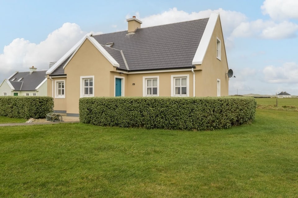
Add your own picture and explain the route, parking, gates, paths or landmarks that help people find it.
Earn 5 points after the picture is checked and accepted.
Add your photo and local directionsShare what you foundWhat is recorded here
In improved pasture 165m E of the townland boundary with Derrylahan and the County boundary with Cork. Annotated ‘Lisnalanniv’ on the 1897 ed. OSi 25-inch map where it is depicted as a roughly circular-shaped area (diam. c. 26m) enclosed by a bank from E-SW and at NW reduced to a scarp elsewhere. The scarp is incorporated into a field boundary from SW-W. Annotated 'Lios na Leanbh' (fort of the children/enclosure of the infants) on the Cassini ed. OSi 6-inch map which may suggest that ringfort was reused as a children's burial ground. Visible as an overgrown area delimited by trees on Digital Globe orthoimage taken between 2011-13 and on Google Earth orthoimages.
See attached Google Earth orthoimages.
Compiled by: Martin Fitzpatrick
Date of upload: 19 November 2021
The monument record does not grant public access. Check the route and ask the landowner before entering private land.