Add your own picture and explain the route, parking, gates, paths or landmarks that help people find it.
Earn 5 points after the picture is checked and accepted.
Add your photo and local directionsShare what you foundWhat is recorded here
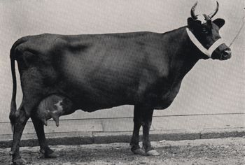
Hilltop monastery reputedly founded by St. Patrick and renamed Ardpatrick, hilltop formerly known as Tulach na Feinne [Hill of the Fianna] (Westropp 1922, 78). Monastery accessed from a road (L. c. 760m) to W known locally as the Rian Bó Phádraig (Patrick's cow road/ Road of St. Patrick's Cow) which is clearly visible on OSi and Google Earth orthoimages. Foundation legend associated with this roadway recorded by Lenihan (1866, 721) as follows; 'Another great curiosity was the “slug of the horn of St. Patrick's little cow". This animal it was that supplied the saint with his daily milk'. Folklore collected from Ardpatrick National School recorded the following details about the Rian Bó Phádraig; ‘On the hill here stand the remains of an abbey with small church [LI056-002008-] attached & close to both are the remains of a round tower [LI056-002003-]. St Patrick is said to have approached the hill from the west passing through the neighbouring parish of Effin. A trace of the old road was pointed out to me by an old man & referred to by some others. He called the old road 'Rian bo Padraig'. I some years ago pointed this out to a surveyor from the Ordnance Survey Office & it is now marked on the Ordnance map. It runs up the hill from the west & its line can still be plainly seen. [Informant] Heard this from his father & from 'all the old people‘ (The Schools’ Collection, Volume 0509, Page 201; https://www.duchas.ie/en/cbes/4922041/4921283).
Westropp (1917, 476) recorded the following about this roadway; 'The "Slug of St. Patrick's Cow' made when the unruly beast ran away from Ardpatrick, was called by Irish speakers Rian bo Phadhruig, as I was told on my visit in 1877. It is an old roadway, leading from the utterly defaced church [LI056-002008-] and round tower [LI056-002003-] of Ardpatrick, slightly to the west, north-west. Part of it has been cut, by nature or man, into the rock for a depth of over 8 feet [2.4m], and 16 feet [4.9m] to 20 feet [6m] wide; part is only fenced'.
See attached Google Earth orthoimages
Compiled by: Caimin O'Brien
Date of upload: 15 February 2021
The monument record does not grant public access. Check the route and ask the landowner before entering private land.