Add your own picture and explain the route, parking, gates, paths or landmarks that help people find it.
Earn 5 points after the picture is checked and accepted.
Add your photo and local directionsShare what you foundWhat is recorded here
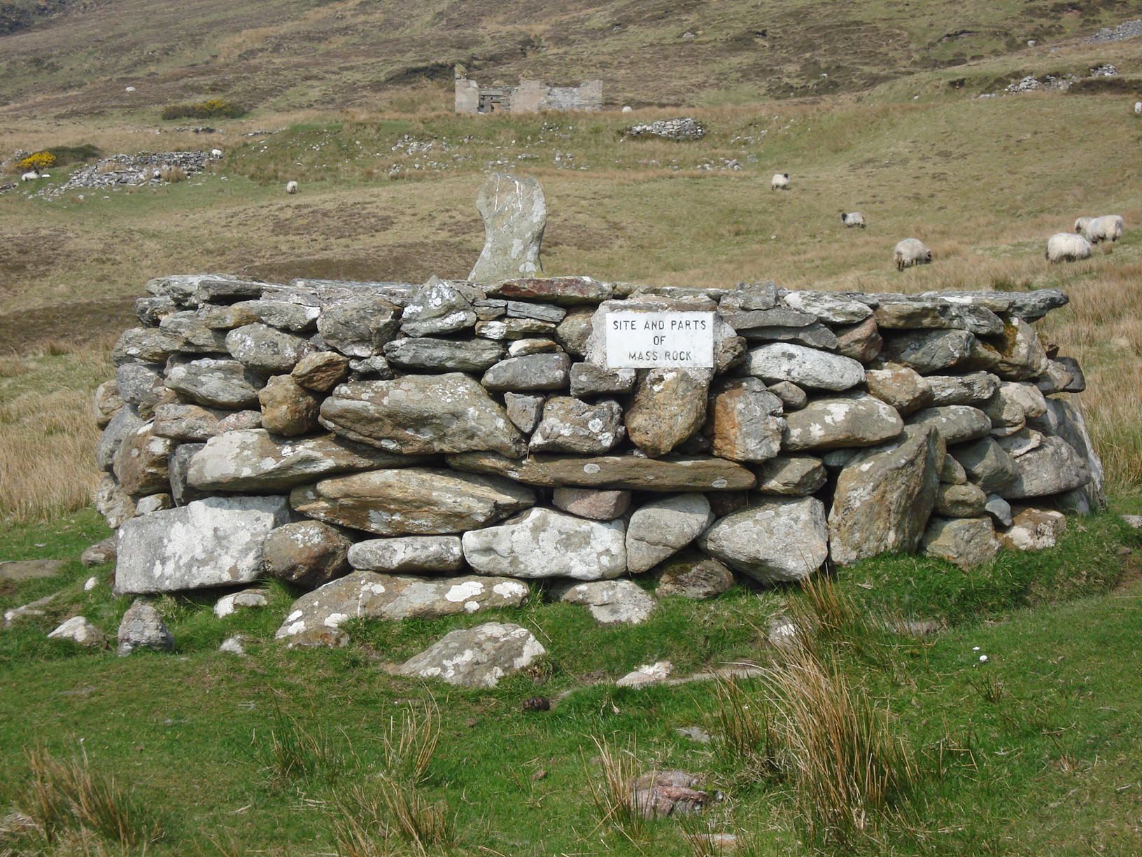
In pasture, immediately E of a large upland forestry plantation and 1.3km SE of the summit (1531 ft. 566m), known as the Pinnacle, on Slievereagh. Not depicted on OSi historic maps. Identified by Peggy Barry, Glenbrohane Heritage Group, in 1996 as a Mass Rock. A photograph shows an inscribed stone set into a large irregular shaped boulder. The mass rock is not visible on Google Earth orthoimages.
See attached photograph and location map of mass rock.
Compiled by: Martin Fitzpatrick
Date of upload: 5 October 2021
The monument record does not grant public access. Check the route and ask the landowner before entering private land.