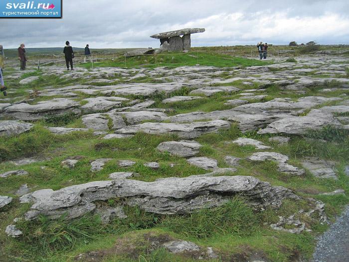
Add your own picture and explain the route, parking, gates, paths or landmarks that help people find it.
Earn 5 points after the picture is checked and accepted.
Add your photo and local directionsShare what you foundWhat is recorded here
A circular earthwork, 17m in overall diameter. It consists of a low central mound 6m in diameter and 0.2m in height, defined a shallow ditch 0.5m in width. Around this central mound and ditch is a slightly higher enclosing bank, roughly 3m in width and 0.3m in height. Around this enclosing bank is one further ditch, with a second, more subtle enclosing bank around it (1m in width, 0.15m in height). The earthwork may be the remains of a prehistoric barrow, akin to LI031-237 in Monaster South (for parallels elsewhere in Limerick and Tipperary, see Doody 1993; Doody 2008). 6m north of this earthwork are the remains of a separate sub-rectangular enclosure while 5m to the west are the remains of an old field boundary, running in a straight line from north to south. These features may also be pre-modern but are not connected to this circular earthwork.
Compiled by: Dr Eugene Costello
Date of upload/revision: 20 February 2023
See attached imagery courtesy of Dr Costello
01.JPG South-facing view of site
02.JPG South west facing view of site
03.JPG West facing view of site
04.JPG Google Earth 2006
05.JPG Google Earth 2006
06.JPG Google Earth 2018
07.JPG Google Earth 2021
The monument record does not grant public access. Check the route and ask the landowner before entering private land.