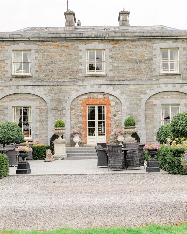
Add your own picture and explain the route, parking, gates, paths or landmarks that help people find it.
Earn 5 points after the picture is checked and accepted.
Add your photo and local directionsShare what you foundWhat is recorded here
Westropp (1904-5, 422) recorded the following details about Tankardstown; 'A parish in Coshmagh. Ballytankard,1291, 1303. Suit of Thomas Bussell, and Anselm, and Tho. Myagh, to enquire if John de Cogan was unjustly disseised by John Russell (grandfather of Thomas) of lands in Tancardeston, 1320; and suit of Nic. and Juliana de Lees, and Adam de Goulys about same (Plea R., 127 of xiii Ed. II, m. 12). Ballyhancard dedicated to St. David, March 1st, 1410. Balytantard, 1418 (Map, D.S. (A), 43.)
Fabric - It is 43 feet [13m] by 24 feet [7.3m]; only fragments of the north, south, and west walls, the south 18 feet [5.5m] long and 12 feet [3.65m] high, remain'.
Compiled by: Caimin O'Brien
Date of upload: 25 June 2019
The monument record does not grant public access. Check the route and ask the landowner before entering private land.