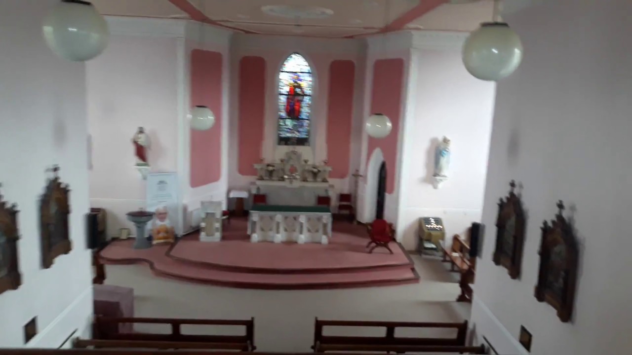
Add your own picture and explain the route, parking, gates, paths or landmarks that help people find it.
Earn 5 points after the picture is checked and accepted.
Add your photo and local directionsShare what you foundWhat is recorded here
Situated on high ground with panoramic views of the surrounding countryside. O'Hurley's Castle (LI041-004005-) located 60m to NNE and holy wells (LI041-004006/007) 150m to NE. Only the grass-covered wall footings of the medieval church are now visible in NE quadrant of graveyard with architectural fragments of the church reused as grave-markers throughout the graveyard. Church ruins described in 1840 as following; 'The old Church on this hill is a very rude one and all its architectural features are destroyed with the exception of one quadrangular little window placed on the north wall close to the east gable. It is wide inside and measures two feet four inches [0.7m] by seven inches [0.17m] outside, where it is six feet eight inches [2m] from the ground. The east gable is nearly destroyed and there is a large breach in the south side where the doorway was placed and another nearly opposite it in the north side wall. The lower part of the north wall is built of very large stones up to the height of four feet [1.2m] but from that up is of much smaller ones. This Church measures in length forty five feet [13.7m] and in breadth twenty two feet [6.7m] inside; its wall are four feet [1.2m] thick, built of lime stones cemented with good lime and sand mortar and their greatest height is at present nine a half feet [2.8m] inside and twelve feet [3.65m] outside' (OSKL Knocklong Parish).
Westropp (1904-5, 451) recorded the following details about Knocklong; 'A parish in Coshlea. It is called Cnoc Loinge, Hill of the Camp, and Druim Damhghaire in the Book of Lismore, being the traditional scene of the battle (A.D. 250), when the Ardrigh Cormac mac Airt endeavoured to tax Munster. Loinge, 1568 and 1578 (Fiants, 1258 and 3250); Knocknelongie, 1584 (Desmond Roll), Long, 1657, with sketch of the castle (D.S. (A.), 55).
Compiled by: Caimin O'Brien
Date of upload: 17 June 2019
See attached ASI aerial photographs ASIAP – 343/14 and 16 on 05/01/2003.
The monument record does not grant public access. Check the route and ask the landowner before entering private land.