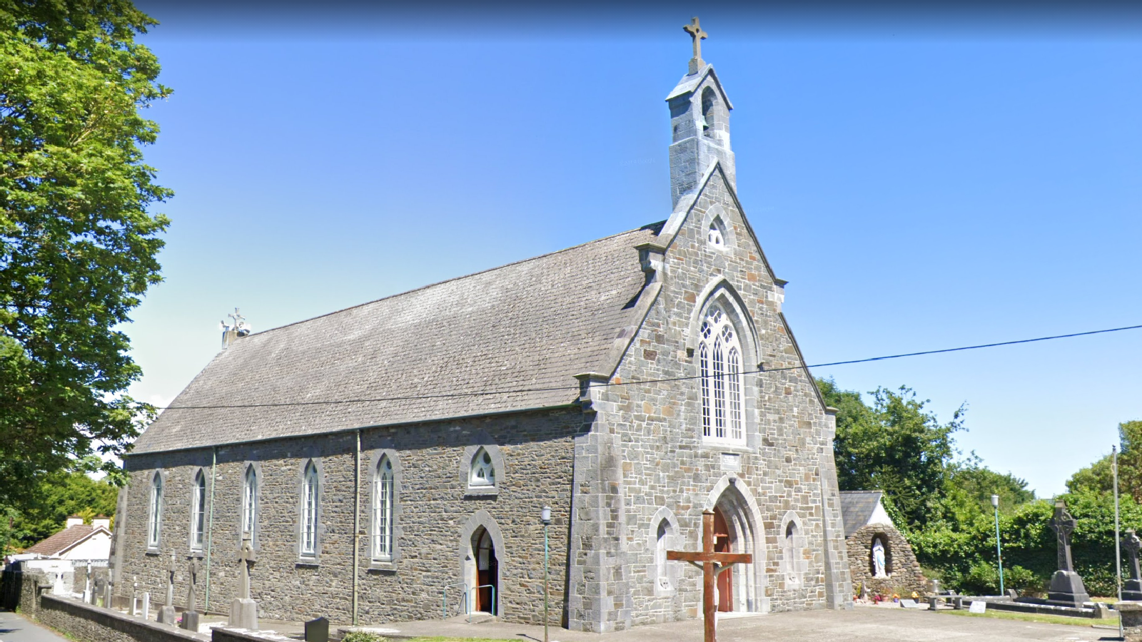
Add your own picture and explain the route, parking, gates, paths or landmarks that help people find it.
Earn 5 points after the picture is checked and accepted.
Add your photo and local directionsShare what you foundWhat is recorded here
Described in the Ordnance Survey Letters for Athneasy Parish as following; 'a burial ground (LI040-073002-) much in use, within which is seen the side wall of an old Church nineteen feet seven inches [6m] long to a breach on it near the east end where a small portion of it, with a portion of the east gable attached thereto, stands detached. Both form a corner. This side wall is about seven feet [2.1m] high. Materials are from rude stones and cement of lime and sand mortar. The burial ground lies in a potatoe field and is enclosed with a stone wall of mason work' (OSL 81).
Westropp (1904-5, 429) recorded the following details about Adamstown; 'It appears from Peyton (p. 12) to have been named Ballyhyward in 1586. Fabric - Part of the east gable and of a side wall of small rude masonry, 19½ feet [5.9m] long and 7 feet [2.1m] high, stood in 1840'.
Church described in 1943 as following 'Here is a grave-yard (LI040-073002-) in which stands one fragment of the north gable of a church. The date of the oldest tombstone in the graveyard is 1765' (O'Kelly 1943, 170).
Compiled by: Caimin O'Brien
Date of upload: 17 June 2019
The monument record does not grant public access. Check the route and ask the landowner before entering private land.