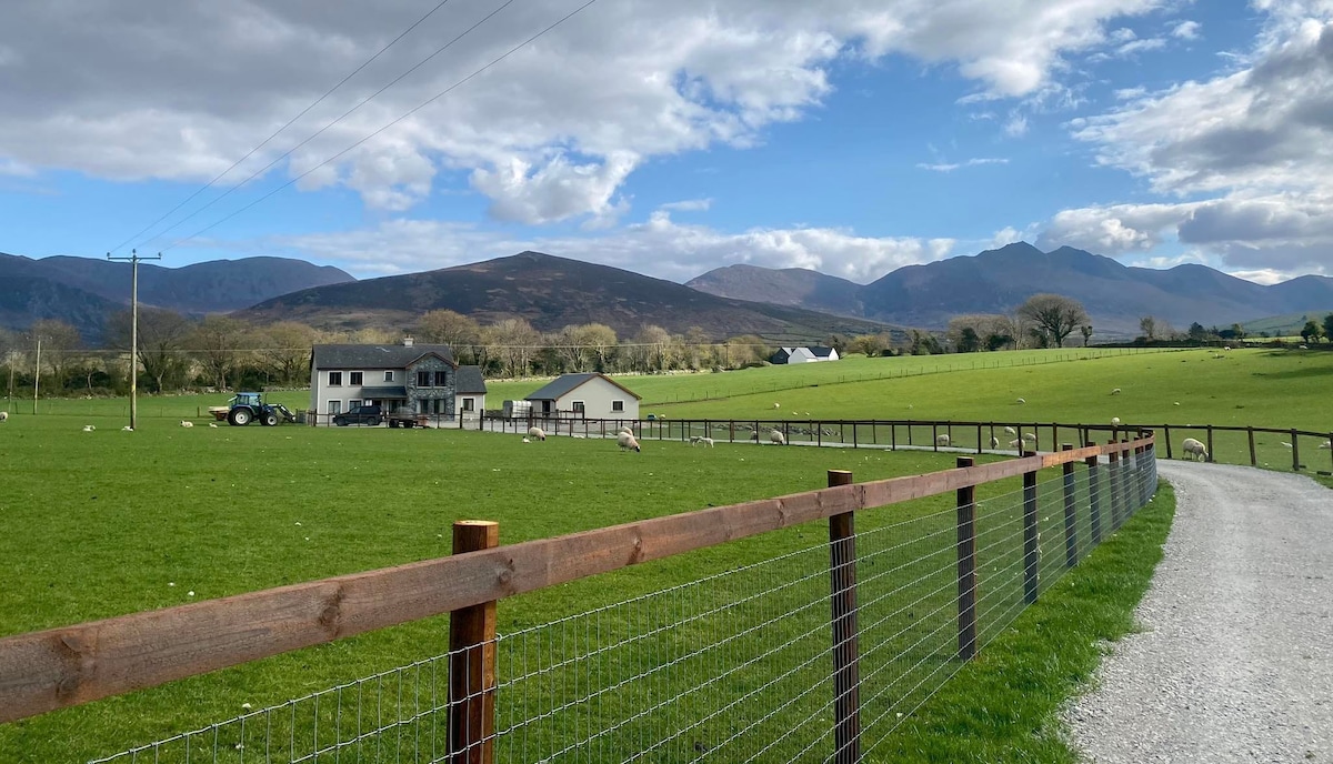
Add your own picture and explain the route, parking, gates, paths or landmarks that help people find it.
Earn 5 points after the picture is checked and accepted.
Add your photo and local directionsShare what you foundWhat is recorded here
In reclaimed pasture 125m N of a watercourse and 40m W of townland boundary with Knockuregare. Not marked on OSi historic maps. Possible monument identified as a potential site of a circular enclosure visible on aerial photographs (BGE 1/50000 50) taken 11/09/1982 as part of Bórd Gáis Éireann Curraleigh West-Limerick gas pipeline. No surface remains visible on OSi orthophoto taken between 2005-12. Wet area of ground, small pond feature in reclaimed grassland visible on Google Earth orthoimage taken 28/06/2018 may be the feature identified on gas pipeline aerial.
See attached Google Earth orthoimages.
Compiled by: Martin Fitzpatrick
Date of upload: 8 May 2021
The monument record does not grant public access. Check the route and ask the landowner before entering private land.