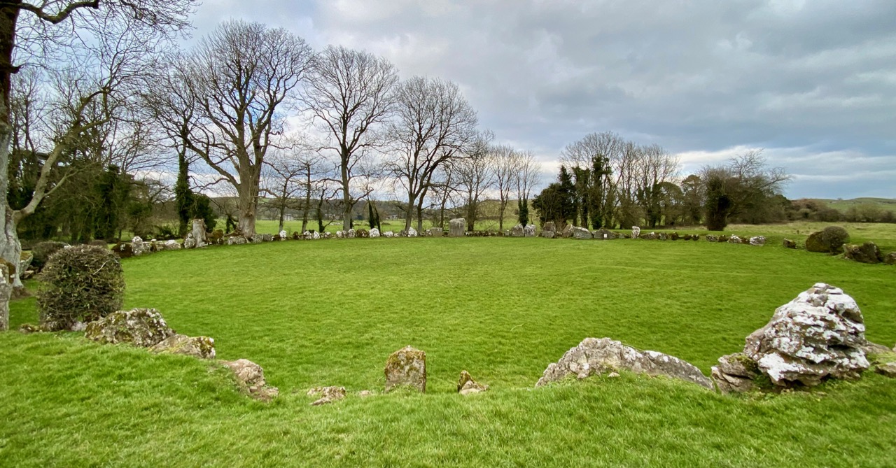
Add your own picture and explain the route, parking, gates, paths or landmarks that help people find it.
Earn 5 points after the picture is checked and accepted.
Add your photo and local directionsShare what you foundWhat is recorded here
Cropmark of circular-shaped area (approx. int. diam. 32m; ext. diam. 45m) defined by a ditch visible on Digital Globe aerial imagery taken 2011-13. Ordnance Survey Trig. Station marking OD spot height of 158 ft. depicted at this location on the revised 1897 ed. 6-inch map. Cropmark may be related to the activities of the Ordnance Survey. No Trig. Station depicted at this location on the 1840 ed. OS 6-inch map.
Compiled by: Caimin O’Brien
Date of upload: 4 June 2020
The monument record does not grant public access. Check the route and ask the landowner before entering private land.