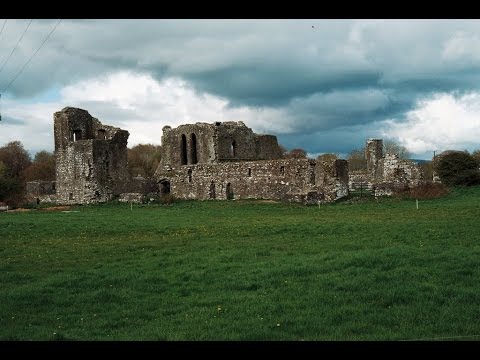
Add your own picture and explain the route, parking, gates, paths or landmarks that help people find it.
Earn 5 points after the picture is checked and accepted.
Add your photo and local directionsShare what you foundWhat is recorded here
On poorly drained, partially reclaimed pasture with Tipperary county boundary immediately to E and 70m to S where it is marked by a stream running roughly E-W. Ditch-barrow (TS058-014----) in field 80m to E, earthwork (LI033A010----) 210m to NW. Cropmark of circular-shaped area (diam. c. 31m) defined by a ditch visible on OSi orthophotos and on Google Earth orthoimage. Outline of three possible ditch-barrows to SW visible on Google Earth orthoimage taken 16/01/2022.
See attached Google Earth orthoimages courtesy of Faith Bailey
Compiled by: Caimin O'Brien based on details provided by Faith Bailey
Date of upload: 21 November 2022
The monument record does not grant public access. Check the route and ask the landowner before entering private land.