Add your own picture and explain the route, parking, gates, paths or landmarks that help people find it.
Earn 5 points after the picture is checked and accepted.
Add your photo and local directionsShare what you foundWhat is recorded here
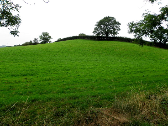
On high ground on E slope of prominent hill in Knockroe townland. Enclosure (LI033-152----) lies 275m to S and earthwork (LI024-069----) 300m to N. Not depicted on historic OSi maps. Monument visible as an oval-shaped depression on aerial photograph (ASIAP (353) 1) taken 05/01/2003. Visible as a faint cropmark immediately N of a linear field ditch running NE-SW on OSi orthophoto taken between 2005-12. Visible as a circular depression immediately S of linear field ditch running NE-SW on Google Earth orthoimage dated 18/11/2018. No surface remains visible on Google Earth orthoimage dated 20/09/2020.
See attached aerial photograph (ASIAP (353) 1, 2, 3, 4) and Google Earth orthoimages.
Compiled by: Martin Fitzpatrick
Date of upload: 20 April 2021
The monument record does not grant public access. Check the route and ask the landowner before entering private land.