Add your own picture and explain the route, parking, gates, paths or landmarks that help people find it.
Earn 5 points after the picture is checked and accepted.
Add your photo and local directionsShare what you foundWhat is recorded here
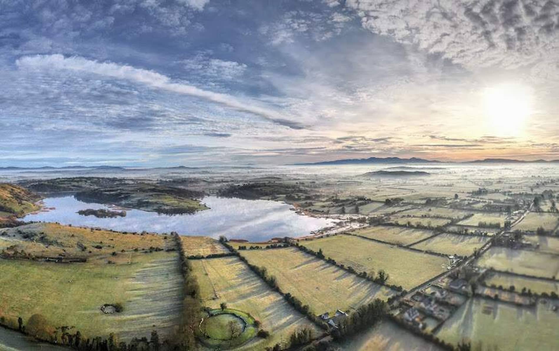
In rocky hill, on top of a limestone crag (300ft/91m), on the N side of Knockadoon, which overlooks Lough Gur to NW. A second cist (LI032-315----) is at the same location and a cave (LI032-022025-) lies 30m to NW. Not depicted on OSi historic maps. Cist uncovered and recorded as Feature 30 during archaeological excavation in 1987 Rose Cleary on Knockadoon Hill. The results of the excavation were summarised as follows; 'The excavation took place for a ten-week period from 26 May to 31 July 1987 and was funded by a grant from the Royal Irish Academy. Three cist graves were excavated in 1987 and these were confined to the northern end of the site. One cist (Feature 30) was trapezoidal in plan and constructed from irregularly shaped limestone blocks. The human remains were of 4 children and segments of an adult hand' (Cleary 1988, 20-1). Area of excavation is obscured by woodland and is not clearly visible on OSi orthoimage taken 2005-2012, or on Digital Globe orthophoto or on Google Earth orthoimage 28/06/2018.
See attached Google Earth orthoimage
Compiled by: Alison McQueen and Vera Rahilly
Date of upload: 29 November 2020
The monument record does not grant public access. Check the route and ask the landowner before entering private land.