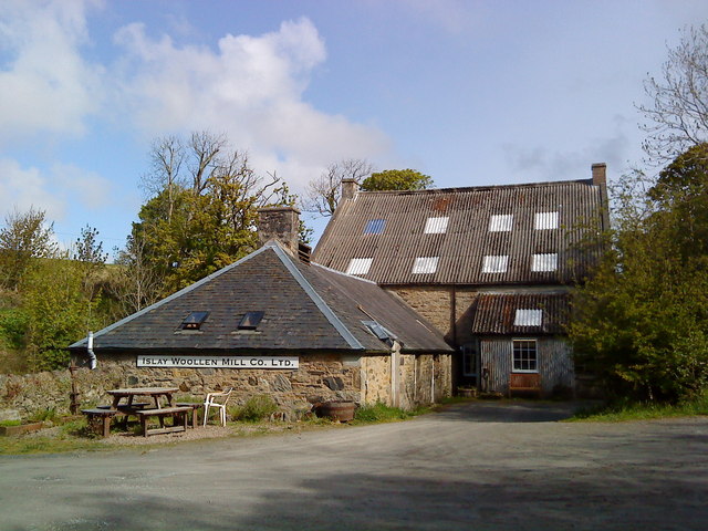
Add your own picture and explain the route, parking, gates, paths or landmarks that help people find it.
Earn 5 points after the picture is checked and accepted.
Add your photo and local directionsShare what you foundWhat is recorded here
In low-lying pasture, on the floodplain of the Mahore River located 25m to N, 680m NW of Hospital town. Annotated ‘Mill (in ruins)’ on the 1840 ed. OSi 6-inch map and depicted as two rectangular-shaped structures situated either side of an L-shaped field boundary. A watercourse 45m to SW is the ‘Mill Race’ as indicated on the 1840 ed. OS 6-inch map and the river channel is shown 35m to NE. The structures have been levelled and a rectangular-shaped cropmark (20m NW-SE; 12m NE-SW) is visible at the location of the eastern most building on OSi orthoimages taken 2005-2012, on Digital Globe orthoimages taken 2011-2013 and on Google Earth orthoimages taken 25/03/2017. Faint traces of the mill race can be seen 30m to SE on these orthoimages. In 1840 the Ordnance Survey recorded that 'In the N.[orth] of the townland is Hospital Old Mill (in ruins)' (OSNB Hospital Parish, 803). This 'Old Mill' (in ruins) known locally as 'Hospital old Mill' (OSNB Hospital Parish, 804) may have been the site of a pre-1700 watermill associated with the medieval manor of Hospital.
See attached Google Earth orthoimage
Compiled by: Alison McQueen and Vera Rahilly
Date of upload: 9 November 2020
The monument record does not grant public access. Check the route and ask the landowner before entering private land.