Add your own picture and explain the route, parking, gates, paths or landmarks that help people find it.
Earn 5 points after the picture is checked and accepted.
Add your photo and local directionsShare what you foundWhat is recorded here
Monument described in 1943 as following; 'This is a very low circular platform surrounded by a slight fosse. The top of the platform slopes from south to north, its greatest height above the field level being 3' [0.9m] and its overall diameter 100' [30m]. It is not marked on the O.S. map' (O'Kelly 1942-3, 171). Situated on poorly drained grassland with stream 30m to NE and site of Ballinard Castle (LI032-090----) 140m to SW, the outline of this earthwork is clearly visible today on Digital Globe aerial photographs. The platform located on wet partially reclaimed land in close proximity to a stream with nearby castle site may suggest that this could be the site of a watermill (LI032-336----) mentioned in 1654-56 Civil Survey. A linear earthwork in the field to the S of the platform visible on 2005-2012 OSi aerial photographs may be related to this earthwork.
Compiled by: Caimin O'Brien
Date of upload: 24 February 2020
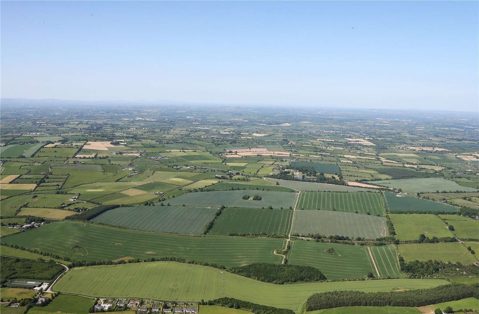
See attached ASI aerial photograph ASIAP – 349/9 and 351/16 taken 05/01/2003.
The monument record does not grant public access. Check the route and ask the landowner before entering private land.