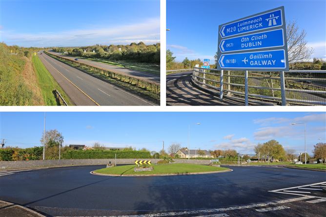
Add your own picture and explain the route, parking, gates, paths or landmarks that help people find it.
Earn 5 points after the picture is checked and accepted.
Add your photo and local directionsShare what you foundWhat is recorded here
In reclaimed pasture 25m W of the townland boundary with Kilcullane defined by a small S-flowing stream. The monument is located on gently undulating ground at the base of Knockderc Hill 620m SE of St Patrick’s Well, church and graveyard (LI032-063001/002/003/004-). Immediately S of a ringfort (LI032-067001-). The site is not depicted on historic OSi maps. The enclosure is clearly visible on OSi orthoimages taken 2005-12 and on Digital Globe orthoimages taken 2011-2013 as a rectangular enclosure or annexe (ext. dims. 22m NNE-SSW; 35m ESE-WNW). The annexe is transected at N by a relic field boundary running WNW-ESE. The field boundary is visible 5m S of the ringfort (LI032-67001-). The enclosure is visible on Google Earth orthoimages taken 25/03/2017; 28/06/2018 and 20/09/2020.
See attached Google Earth orthoimages
Compiled by: Edmond O’Donovan
Date of upload: 18 November 2020
See attached ASI aerial photograph ASIAP - 304/29 taken 13/09/2002.
The monument record does not grant public access. Check the route and ask the landowner before entering private land.