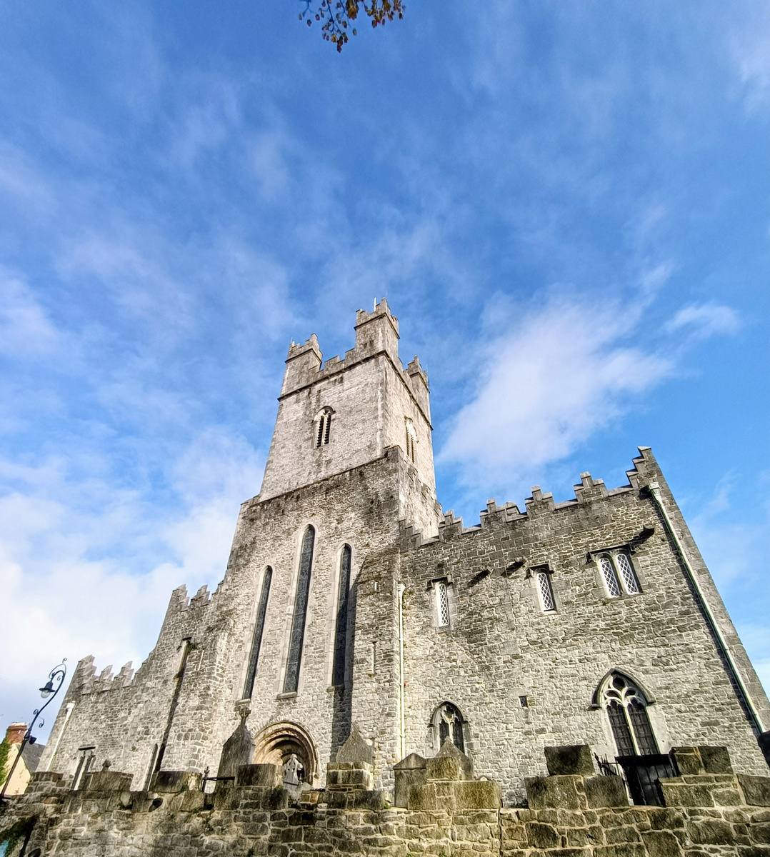
Add your own picture and explain the route, parking, gates, paths or landmarks that help people find it.
Earn 5 points after the picture is checked and accepted.
Add your photo and local directionsShare what you foundWhat is recorded here
In pasture, on the SE side of Killalough Hill 410m NE of the Red Bog and 550m SE of Lough Gur. A Ringfort (LI032-028----) lies 520m to ESE; a pair of standing stones (LI032-032/-034----) are 300m to WNW and a standing stone (LI032-040001-) is located 150m to SW.
The cairn (LI032-040002-) is not depicted on historic OSi maps. A mound is visible on the OSi orthoimage taken 2005-12 and on Digital Globe orthoimage taken 2011-2013 that are considered to be the site. The site was described as 100m E of the standing stone (LI032-040001-) by Grogan (1989, 216), although there are difficulties in being precise about the site location as the thesis suggested that the mound is in Ballynagallagh townland. The location of the ‘cairn’ (ext. dims. 34.5m NNW-SSE; 15.5m ENE-SSW) is visible on Google Earth orthoimages taken 16/03/2016; 28/06/2018 and 20/09/2020.
See attached Google Earth orthoimages
Compiled by: Edmond O’Donovan
Date of upload: 23 November 2020
The monument record does not grant public access. Check the route and ask the landowner before entering private land.