Add your own picture and explain the route, parking, gates, paths or landmarks that help people find it.
Earn 5 points after the picture is checked and accepted.
Add your photo and local directionsShare what you foundWhat is recorded here
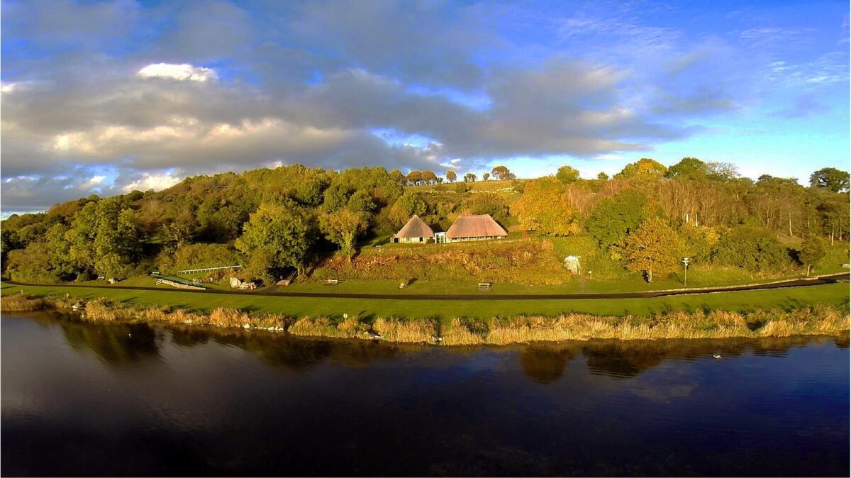
On former rocky pasture 40m NE of the NE shore of Lough Gur at the site of the Lough Gur Visitor’s Centre buildings. The prehistoric house site was discovered during archaeological excavations in advance of the construction of the visitors centre 10m N of a limekiln. The site is located within an area of dense archaeological activity dating from the Neolithic up to the present day around Lough Gur (Cleary 2018). The Early Medieval settlement site known as the ‘Spectacles’ at Drumlaegh (LI032-014012-) is located 110m to NNW; a crannóg known as Bolin Island (LI032-027----) lies 140m to SW; a Food Vessel Burial (LI032-014013-) excavated as part of the same campaign of archaeological excavations that uncovered the Bronze Age hut site was excavated 40m to NW and a ring cairn on the summit of Knockfennell Hill (LI032-014009-) is located 530m to WNW.
The Bronze Age hut site was not depicted on historic OSi maps prior to its discovery. The visitors centre is visible on OSi orthoimages taken 2005-12 and on the Digital Globe orthoimages taken 2011-2013. Rose Cleary (1982 3-6; 2018, 177-8) described the hut site as follows: ‘An arc of post-holes that held vertical structural posts was recorded the northern side of the building and defined part of the perimeter. The estimated diameter was c. 8.5m. Posts in these positions may have been an inner circular setting of roof supports for a low pitched roof which extended to a low wall; the vestiges of this wall (outer) were marked by a second arc of post-holes set a distance of 3m from and concentric with the inner arc. If the outer arc marked the external wall then the estimated overall diameter of the house was c. 13.5m. …… An internal hearth was also recorded.’ Pottery recovered from the post-holes was classified as Class II Bronze Age flat bottomed vessels; a date of c. 1600-1400BC was suggested. Burnt animal bone was also recovered from the excavated levels associated with the prehistoric hut site. The location spot for the house is visible on Google Earth orthoimages taken 05/04/2006; 28/06/2018 and 20/09/2020.
See attached Google Earth orthoimages and site location map taken from Cleary 1982
Compiled by: Edmond O’Donovan
Date of upload: 6 November 2020
The monument record does not grant public access. Check the route and ask the landowner before entering private land.