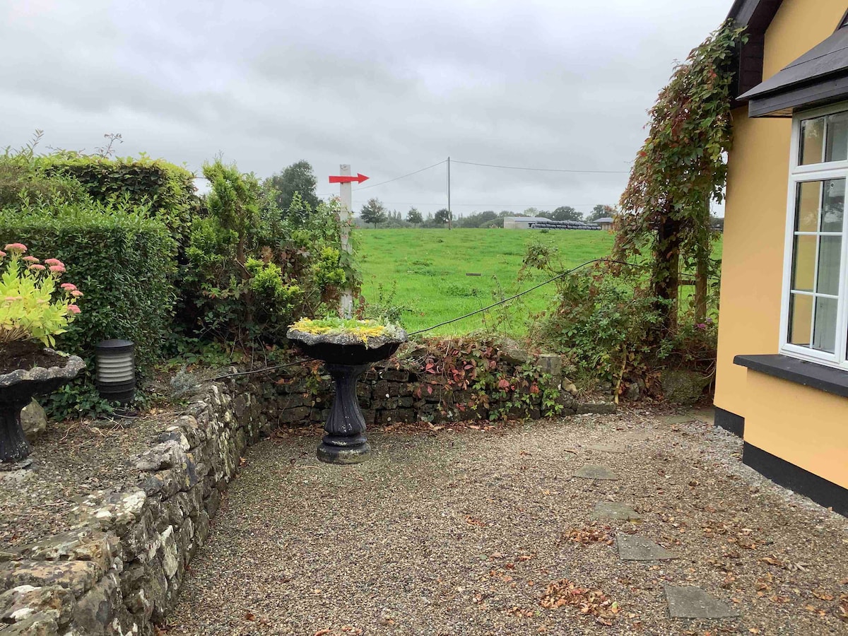
Add your own picture and explain the route, parking, gates, paths or landmarks that help people find it.
Earn 5 points after the picture is checked and accepted.
Add your photo and local directionsShare what you foundWhat is recorded here
In pasture, abutting a townland boundary with Anhid west, to N and 455m SW of the River Maigue. Not depicted on OSi historic maps. Monument identified as two concentric circular-shaped cropmarks visible on aerial photography by Celie O’Rahilly, Limerick County Archaeologist in advance of construction of the Croom bypass. Monument described as: ‘A circular mound defined by a shallow ditch abutting the northern boundary [of a field]. Approximate north-south diameter is 36m. This site would not appear to be affected by the route line’. Monument is visible as a bivallate circular-shaped cropmark with a small annexe to S, on OSi aerial orthoimage taken 2005-2012, on Digital Globe orthophoto taken 2011-2013 and on Google Earth orthoimages taken 25/03/2017 and 14/02/2020.
See attached Google Earth orthoimage
Compiled by: Alison McQueen and Vera Rahilly
Date of upload: 23 October 2020
The monument record does not grant public access. Check the route and ask the landowner before entering private land.