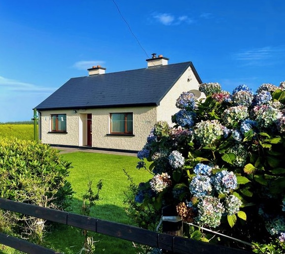
Add your own picture and explain the route, parking, gates, paths or landmarks that help people find it.
Earn 5 points after the picture is checked and accepted.
Add your photo and local directionsShare what you foundWhat is recorded here
In pasture, atop NE edge of steep-sided valley of River Daar. Roughly circular area (69m N-S; 67m E-W) enclosed by substantial earthen bank (int. H 2.7m; ext. H c. 5m) NNE->S, defined by top edge of step incline S->W, and enclosed by low earthen bank (int. H 0.35m; ext. H 2.95m) W->NNE (see plan Westropp 1916-17, plate IV). Deep external fosse (Wth 2.5m; D 2.35m) W->S is covered by dense overgrowth. Gap in bank at W where material recently dumped into fosse to create causeway (Wth 8.6m). Outer bank, indicated on 1923 OS 6-inch map W->E, has been removed and replaced by a farm trackway. Level interior under pasture. In NE quadrant is roughly L-shaped indistinct rise; according to Westropp (ibid., 25) 'the peasantry believe that there are caves under these, but that they were never open in living memory'; this probably indicates presence of a souterrain.
Compiled by: Denis Power
Date of upload: 26 August 2011
This remains an important historical record, but the official description says the monument is no longer visible or has been destroyed.
The monument record does not grant public access. Check the route and ask the landowner before entering private land.