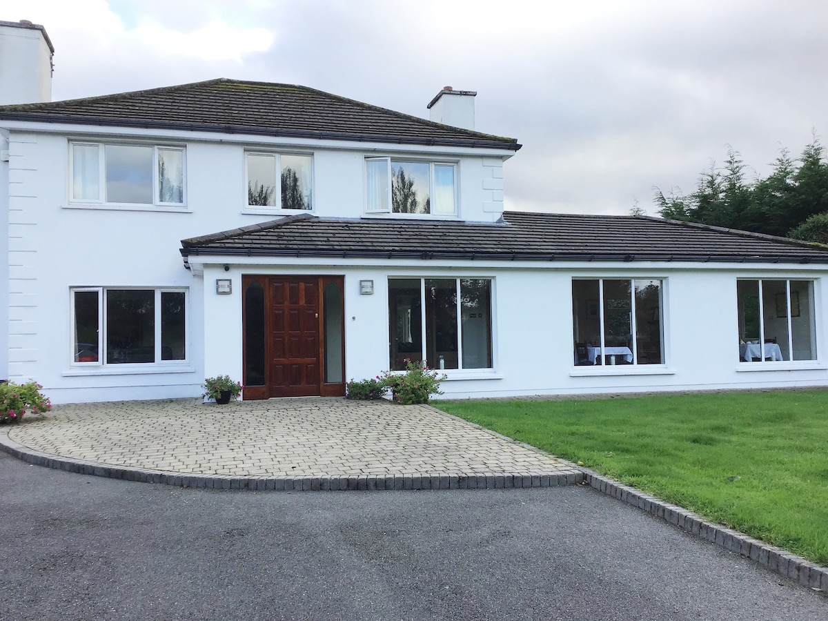
Add your own picture and explain the route, parking, gates, paths or landmarks that help people find it.
Earn 5 points after the picture is checked and accepted.
Add your photo and local directionsShare what you foundWhat is recorded here
In level pasture on the demense lands of Killeenavera House located 150m to W and 335m NE of a townland boundary with Boherroe. Possible ringfort (LI024-034----) lies 50m to SW. Depicted on the 1897 ed. OS 25-inch map as a small circular-shaped platform (diam. 17m) approx. 5m NW of a small pond. Monument described by O’Dwyer (1964, 98), as a platform (diam. 45ft/13.7m; H 4ft/1.2m). Earthwork surveyed by the ASI in 2008 and described as a slightly raised circular mound (diam. 12m) enclosed by mature trees. According to local information, this was a pond that was backfilled for safety approx. 30 years ago and the level of the ground was raised and deciduous trees planted around the perimeter. It is possible that this may have been a form of barrow prior to backfilling. Monument is visible as a tree-planted area on OSi orthimage taken 2005-2012, Digital Globe orthoimage taken 2011-2013 and on Google Earth orthoimage taken 28/06/2018.
See attached profile drawn by O’Dwyer in 1964 and Google Earth orthoimage taken 28/06/2018.
Compiled by: Alison McQueen and Vera Rahilly
Date of upload: 28 September 2020
The monument record does not grant public access. Check the route and ask the landowner before entering private land.