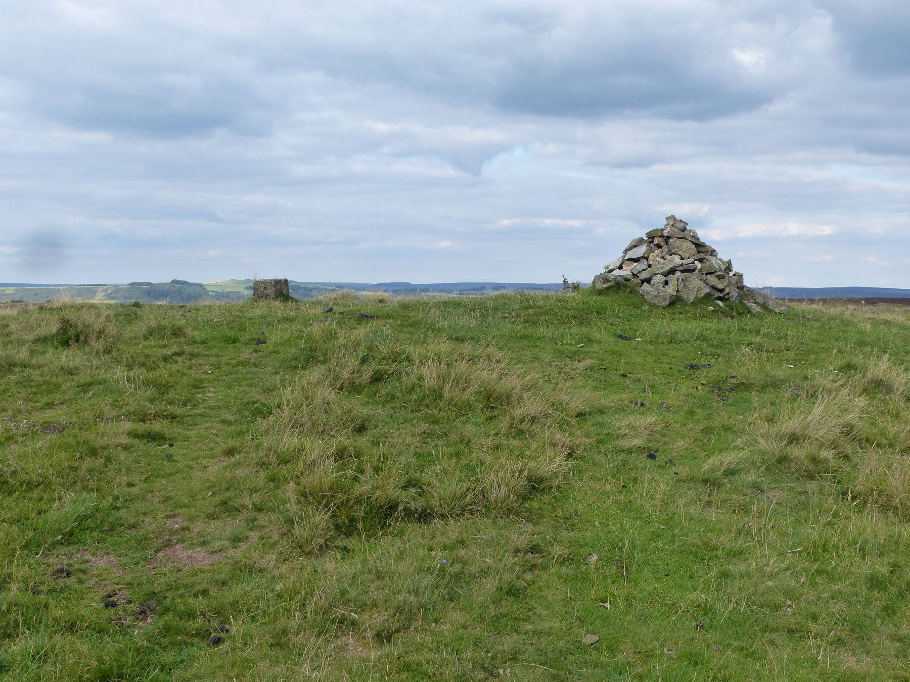
Add your own picture and explain the route, parking, gates, paths or landmarks that help people find it.
Earn 5 points after the picture is checked and accepted.
Add your photo and local directionsShare what you foundWhat is recorded here
In gently undulating, improved pasture, 30m W of a stream which also marks the townland boundary with Boherroe. Depicted on the 1897 ed. OS 25-inch map as a subcircular-shaped earthwork. Described by O’Dwyer (1959, 78) as a small circular-shaped earthwork (diam. 30ft/9m) enclosed by a broad bank (basal Wth 24ft/7.3m) with a gently sloping outer face and an almost vertical inner face (H 10ft/3m). A gap (Wth 6ft/1.8m) in the bank at E may have been the original entrance. The interior is below external ground level and is waterlogged.
Possible pond barrow surveyed by the ASI in 2008 and described as a raised circular-shaped area (approx. diam. 10m) enclosed by a bank (Wth at top 5.25-6.0m; ext. H 1.6m). The bank (ext. H 0.85m) is lower from SSE-S-SSW where it is eroded and modified by a cattle path. Pond-like interior is sunken and waterlogged and the edges are covered in dense overgrowth, restricting access. A report from Sarah McCutcheon, Limerick County Archaeologist in 2001 describes recent damage to the monument whereby the height of bank has been reduced at SE, the outer slope of the bank has been straightened from N-E-S and material removed at the base exposing the underlying material from N-E-S. Monument is visible as a roughly oval-shaped tree-planted earthwork on OSi orthoimage taken 2005-2012, on Digital Globe orthoimage taken 2011-2013 and on Google Earth orthoimage taken 28/06/2018.
See attached a profile of monument drawn by O’Dwyer in 1959, a sketch plan and partial cross-section which was measured and drawn by the ASI in 2008 and a Google Earth orthoimage taken 28/06/2018.
Compiled by: Alison McQueen and Vera Rahilly
Date of upload: 27 September 2020
The monument record does not grant public access. Check the route and ask the landowner before entering private land.