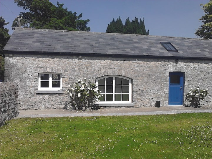
Add your own picture and explain the route, parking, gates, paths or landmarks that help people find it.
Earn 5 points after the picture is checked and accepted.
Add your photo and local directionsShare what you foundWhat is recorded here
Identified from an aerial photograph (Bruff Survey: Map 23, Bruff 23.1: AP 4/3735) and described by Doody (2008, 131) as an 'oval, possibly bivallate E-W enclosure, c. 50m E-W x 35m N-S'; the morphology of this enclosure indicates that it may be Bronze Age in date (ibid.).
Compiled by: Denis Power
Date of upload: 6 November 2013
The monument record does not grant public access. Check the route and ask the landowner before entering private land.