Add your own picture and explain the route, parking, gates, paths or landmarks that help people find it.
Earn 5 points after the picture is checked and accepted.
Add your photo and local directionsShare what you foundWhat is recorded here
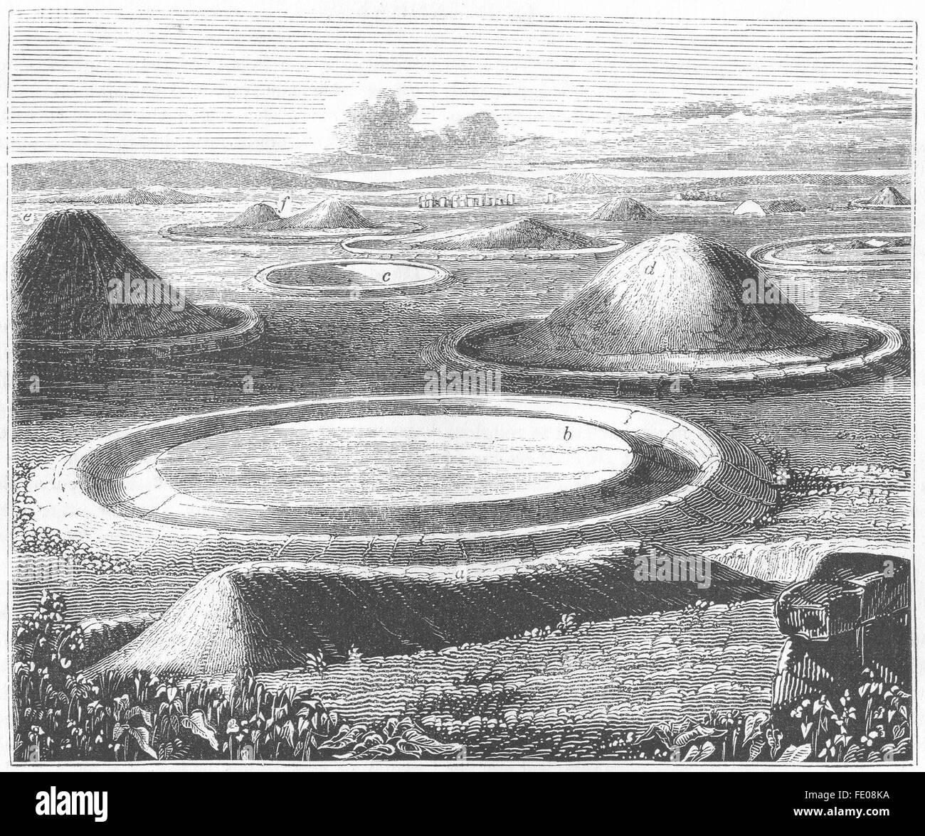
In pasture on a slight NNW-facing slope with moderate to good views in all directions. Located 110m SW of the River Maigue and the townland boundary with Castleroberts, ringfort (LI021-083----) 450m to SSE. The site is depicted as a circular enclosure on the 1840 ed. OSi 6-inch map. Shown on the 1897 ed. OSi 25-inch map as a raised area defined by a sloping bank (ext. diam. 25m). Inspected by the ASI in 2000 when it was described as a raised oval-shaped area (int. diam. 14m NNW-SSE; 10m ENE-WSW) defined by an earthen scarped edge with an external fosse (Wth 4.1m; int. D 1.1m; ext. D 0.3m) only visible at N and W. The interior is dry and clear of overgrowth. Trees located on the edge of the monument are visible on Google Earth orthoimages taken 28/06/2018 and 14/02/2020.
See attached sketch plan surveyed and drawn by the ASI and Google Earth orthoimages
Compiled by: Edmond O’Donovan
Date of upload: 12 August 2020
The monument record does not grant public access. Check the route and ask the landowner before entering private land.