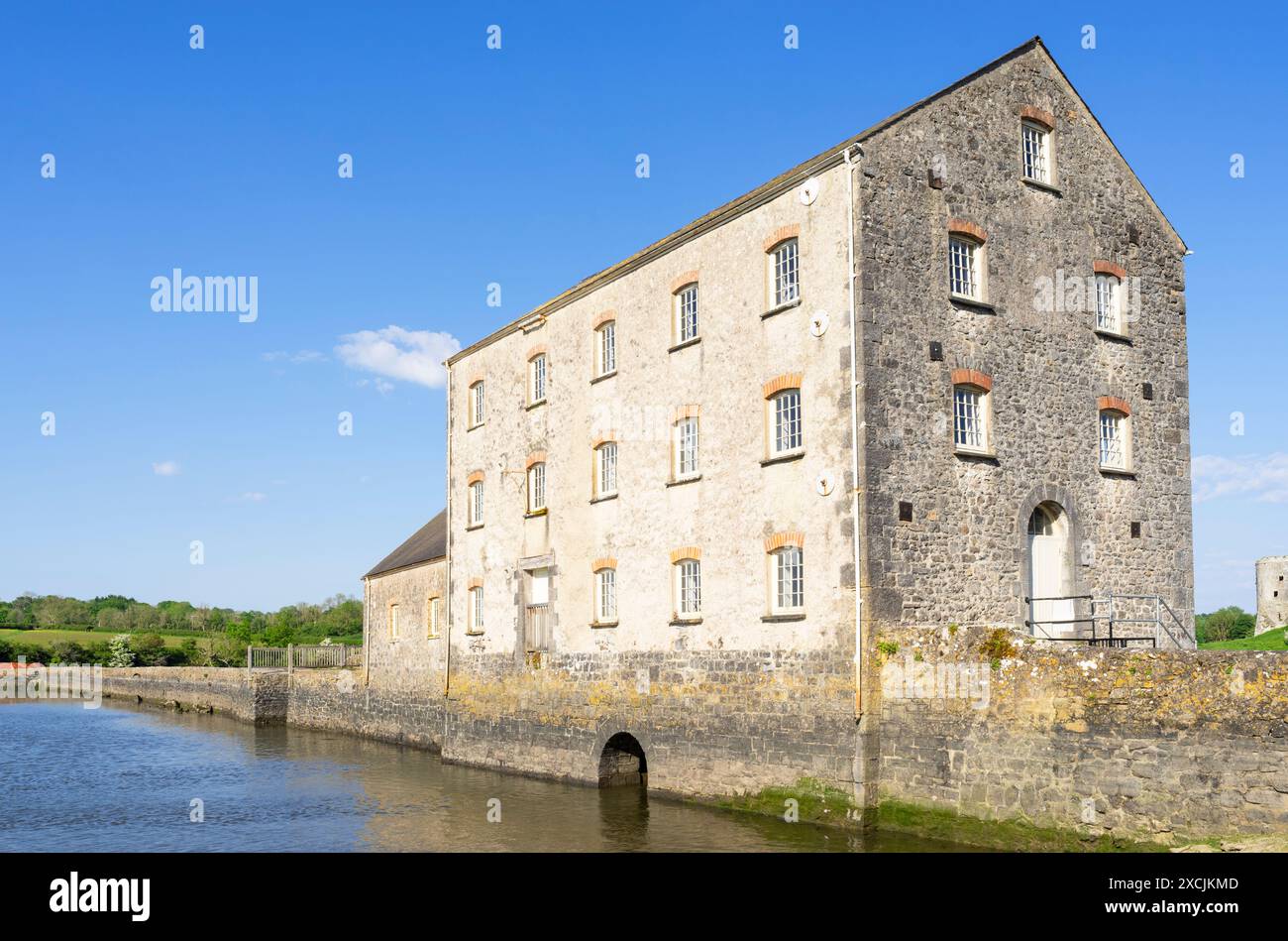
Add your own picture and explain the route, parking, gates, paths or landmarks that help people find it.
Earn 5 points after the picture is checked and accepted.
Add your photo and local directionsShare what you foundWhat is recorded here
On gentle W-facing slope, to N of realigned main Limerick/Newcastlewest road. Mill has been demolished and area now used as car park to rear of Bed and Breakfast. A mill is depicted in approximately this position on the mid-17th century Down Survey map but its exact location is not known.
Compiled by: Denis Power
Date of upload: 26 August 2011
The monument record does not grant public access. Check the route and ask the landowner before entering private land.