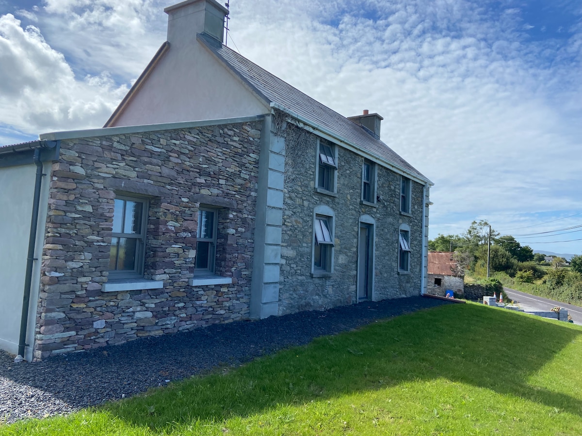
Add your own picture and explain the route, parking, gates, paths or landmarks that help people find it.
Earn 5 points after the picture is checked and accepted.
Add your photo and local directionsShare what you foundWhat is recorded here
In pasture, atop limestone hillock. Site depicted on 1923 OS 6-inch map as roughly rectangular hachured area (c. 30m N-S; c. 25m E-W) against field boundary. Site has been levelled; no visible surface trace evident. According to landowner, enclosure levelled c. 1993 during land reclamation. Westropp (1916-17, 30) described it as 'like a barrel' in plan; it was '120 feet north and south, and from 54 to 90 feet across, a few feet high', and enclosed by 'a stone wall 9 feet thick, now nearly removed'.
Compiled by: Denis Power
Date of upload: 26 August 2011
The monument record does not grant public access. Check the route and ask the landowner before entering private land.