Add your own picture and explain the route, parking, gates, paths or landmarks that help people find it.
Earn 5 points after the picture is checked and accepted.
Add your photo and local directionsShare what you foundWhat is recorded here
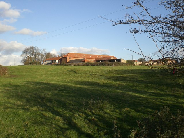
Possible medieval settlement earthworks associated with 13th century Augustinian nunnery (LI019-026009-) which are visible on oblique aerial photographs taken 20/07/1968 (CUCAP AVS097-8). A series of linear earthworks forming a series of terraces indicative of strip lynchets running across the fields are visible to the N and NW of the nunnery on Digital Globe orthoimages taken 2011-13. Possible medieval settlement and cultivation earthworks associated with medieval settlement and farming belonging to the Augustinian Nunnery.
See attached aerial photographs taken 1968 showing earthworks in field to the N and NW of the Augustinian nunnery.
Compiled by: Martin Fitzpatrick
Date of upload: 14 July 2020
The monument record does not grant public access. Check the route and ask the landowner before entering private land.