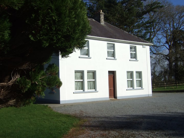
Add your own picture and explain the route, parking, gates, paths or landmarks that help people find it.
Earn 5 points after the picture is checked and accepted.
Add your photo and local directionsShare what you foundWhat is recorded here
In pasture, on steep ESE-facing hill slope. Monument, depicted on 1923 OS 6-inch map as circular embanked enclosure (diam. c. 20m) with N arc overlain by boundary, is now almost completely inaccessible as covered by dense overgrowth. However, it appears that the interior of the enclosure is below level of surrounding terrain and which may be the result of quarrying. A shallow linear depression (D 0.3m; Wth 0.95m), c. 8.6m S of enclosure, runs downhill on a rough E-W axis; probably a drainage ditch. Recently constructed dwelling house lies c. 30m to E.
Compiled by: Denis Power
Date of upload: 26 August 2011
The monument record does not grant public access. Check the route and ask the landowner before entering private land.