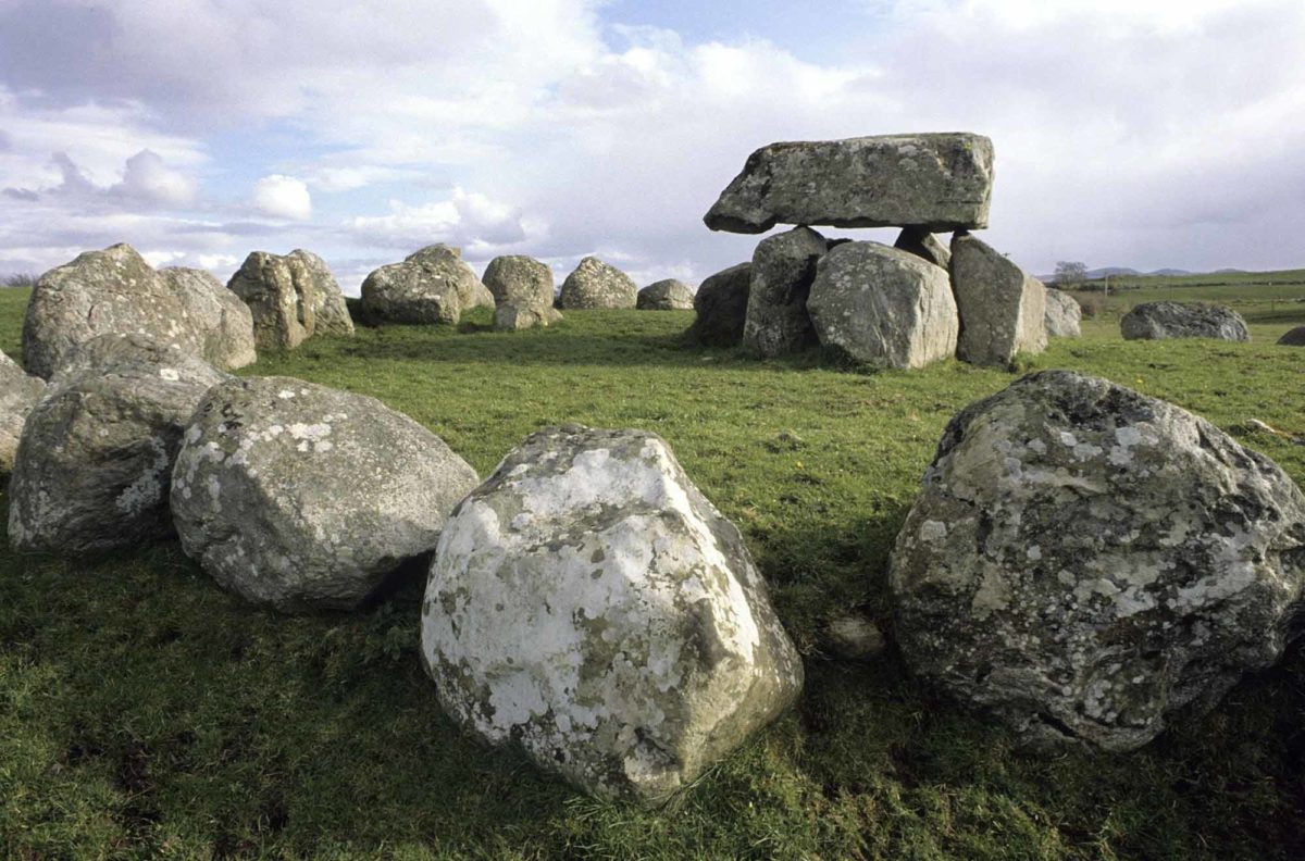
Add your own picture and explain the route, parking, gates, paths or landmarks that help people find it.
Earn 5 points after the picture is checked and accepted.
Add your photo and local directionsShare what you foundWhat is recorded here
Identified by archaeologist Celie O Rahilly in 1995 while preparing an EIS for a quarry extension. She noted "some large erratic boulders on the surface. It was not possible to examine these closely as they were separated by a boundary. They may be a natural formation or they may form an alignment of archaeological significance". In a further report in 1999, she wrote "it would now not be possible to examine this area as it is now backfilled". Extensive land clearance has taken place in this area and the feature described by O Rahilly is no longer evident.
Compiled by: Denis Power
Date of upload: 23 October 2013
The monument record does not grant public access. Check the route and ask the landowner before entering private land.