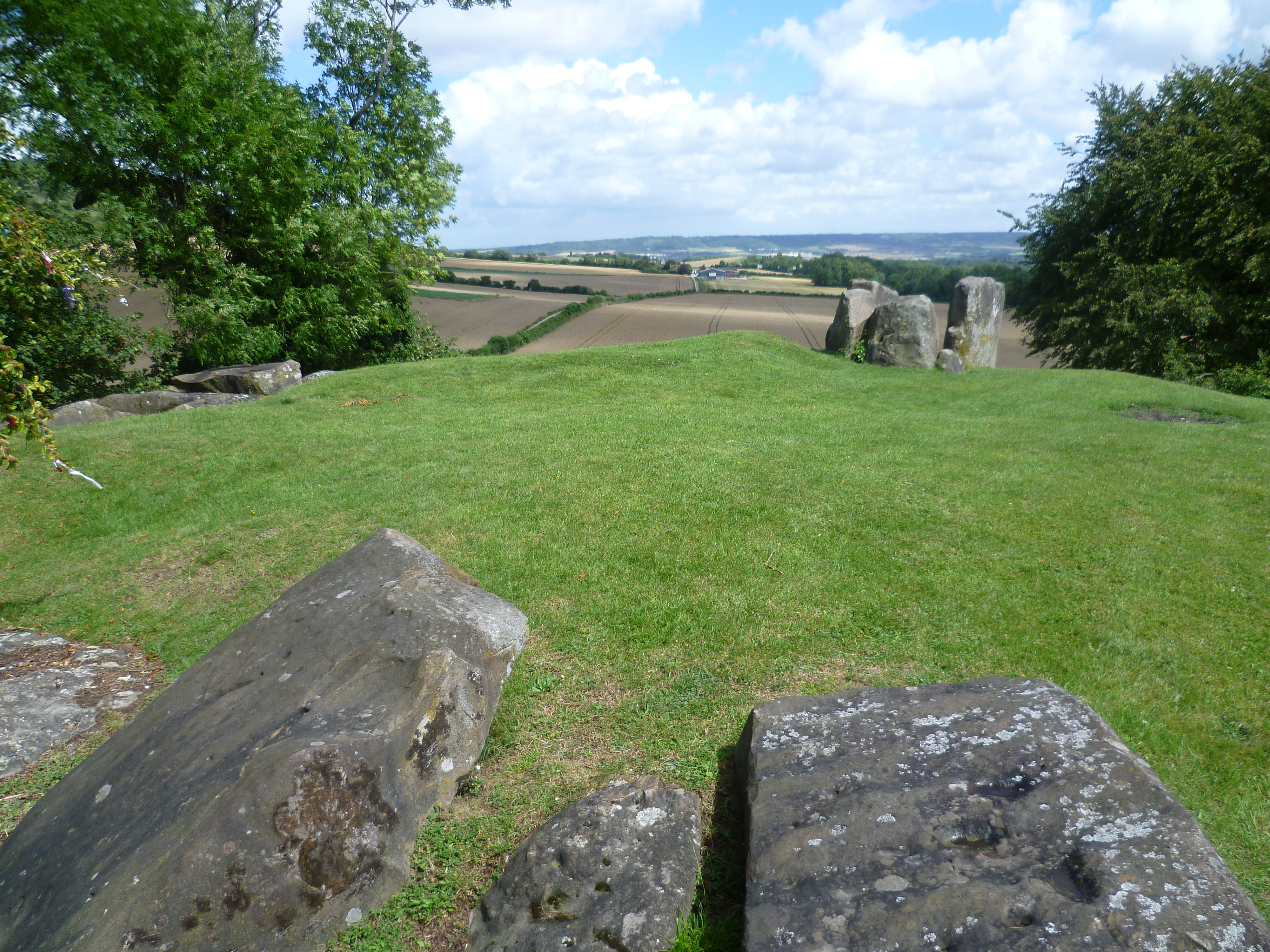
Add your own picture and explain the route, parking, gates, paths or landmarks that help people find it.
Earn 5 points after the picture is checked and accepted.
Add your photo and local directionsShare what you foundWhat is recorded here
On poorly drained floodplains of the Groody River which lies 55m to W. Identified by James Finucane (1993) as Site B and described as a small earthen mound (base Wth 5m) enclosed by a shallow fosse with external bank which may have been the remains of a possible ring-barrow (overall diam. 10m). Not depicted on the OS maps. Outline of mound visible on earlier OSi orthoimagery. Outline of barrow is clearly visible on Google Earth orthoimage taken 06/02/2018.
See attached Google Earth orthoimage
Compiled by: Martin Fitzpatrick
Date upload: 7 July 2020
The monument record does not grant public access. Check the route and ask the landowner before entering private land.