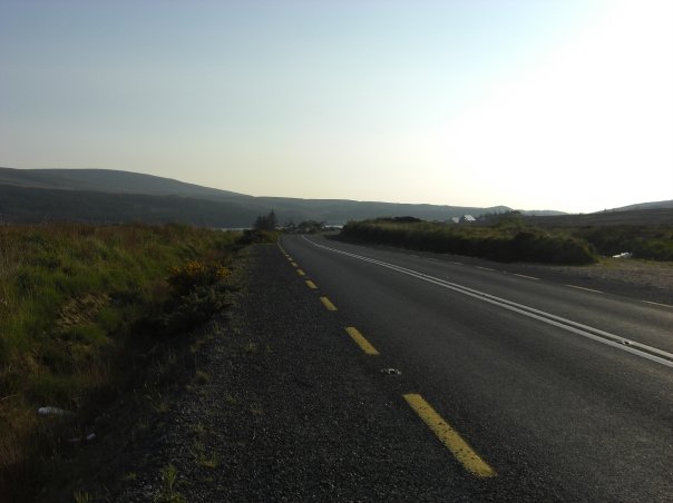
Add your own picture and explain the route, parking, gates, paths or landmarks that help people find it.
Earn 5 points after the picture is checked and accepted.
Add your photo and local directionsShare what you foundWhat is recorded here
On the floodplains of the Groody River which lies immediately to the SW. Identified as a roadway and listed as Site C by James Finucane (1993) and described as consisting of a raised platform (L 187m; Wth. 4m at top, 7m at base; H 9 to 6 inches) which functioned as a pathway between two higher pieces of land across an area liable to flooding. Not depicted on the OS maps. The trackway is clearly visible on Google Earth orthoimage taken 2018 where it runs NE-SW on the N side of the Groody River and can be traced continuing in a southerly direction on the S side of the river. Outline of trackway clearly visible on Digital Globe orthophotos taken 2011-13.
Compiled by: Martin Fitzpatrick
Date upload: 7 July 2020
The monument record does not grant public access. Check the route and ask the landowner before entering private land.