Add your own picture and explain the route, parking, gates, paths or landmarks that help people find it.
Earn 5 points after the picture is checked and accepted.
Add your photo and local directionsShare what you foundWhat is recorded here
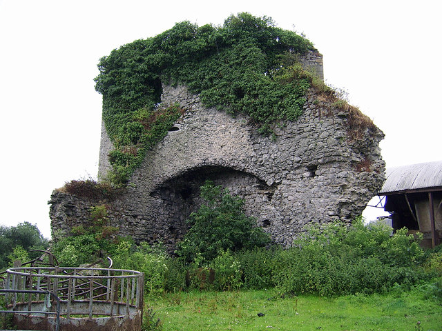
In pasture 150m W of Mulkear River that marks the townland boundary with Eyon, 100m SW of Brittas Castle (LI015-009----). No surface remains visible of levelled motte castle identified by O’Dwyer (1964, 95) who described the earthwork as ‘a large earthen mound now much disturbed, 210 feet [64m] in diameter and rising 20 feet [6m] above the level of the field. An apparently artificial cutting runs from this mound to the river about 450 feet [137m] distant. Not marked on the OS map. It is about 450 feet [137m] SW of Brittas Castle and appears to be an Anglo Norman motte; the bretasche (wooden tower) which originally crowned this mound is probably that which gave the townland its name’. No surface remains visible today on Digital Globe orthoimage 2011-2013.
See attached Google Earth orthoimages taken 28/06/2018 and 05/04/2006
Compiled by: Martin Fitzpatrick
Date upload: 6 July 2020
The monument record does not grant public access. Check the route and ask the landowner before entering private land.