Add your own picture and explain the route, parking, gates, paths or landmarks that help people find it.
Earn 5 points after the picture is checked and accepted.
Add your photo and local directionsShare what you foundWhat is recorded here
Situated in undulating pasture land in fields to the E, S and W of Abbey Owney (LI014-014002-), church (LI014-014005-) and graveyard (LI014-014003-). The medieval settlement of Abington stood in fields to the N , NE and S of the Mulkear River in close proximity to a medieval corn mill (LI014-014007-) and 17th century stone bridge (LI014-014008-). The 1656 Down Survey map of Owneybeg barony depicted a cluster of dwellings standing either side of the Mulkear River in close proximity to the ruins of Owneybeg Abbey and the medieval corn mill (NLI, MS 718). On this map a cluster of dwellings representing the medieval settlement of Owneybeg Abbey are shown standing beside the medieval bridge crossing the Mulkear River. The dwellings are depicted on the N and S banks of the river clustered around the fording point of the Mulkear River. These dwellings represented the settlement belonging to ‘The Mannor of Abby Owthneybeg’ as annotated on the Down Survey barony map (ibid.). The terrier of the Down survey map of Abbeyowneybeg parish recorded that in this parish ‘there is an abbey p[ar]te whereof is Thatcht and about thirty Thatch Houses a good Corne Mill and a bridge on the Mannor of Abbeyowthneybegg’ (ibid.). The 30 thatched houses belonging to the manor of Owneybeg stood in the fields to the S and E of Abbey Owney. The Down Survey parish map depicted a cluster of dwelling standing beside the medieval bridge on both sides of the Mulkear River.
The 1654-56 Civil Survey of Limerick recorded that in the parish of Abbeyowney there was ‘a Mannor Towne wth the priviledge of a Courte Leete and Courte barron. Ye River of Muilcherne leadinge through the said Towne and a stone bridge thereuppon one Mill two fishing weares a Demolished stone house with two Orchards and a garden upon Rath and Cnocknegurteeny’ (Simington 1938, 3). All of the above monuments stood on lands belonging to Colonel Piers Welsh [Walsh] who is described as an ‘Irish Papist of Abbieowghnie’ (ibid.). In 1681 Thomas Dineley visited Abington and made a drawing of the Cistercian abbey ruins which he showed standing close to a six-arched bridge around which there were a cluster of dwellings representing the medieval settlement of Abbey Owney (Shirley et. al. 1865, 278).
In 1907 Rev. Seymour recorded the following about the medieval settlement at Abington, 'Seward, in his " Topographia Hibernica," written in 1795, describes Abington as a fair-town, fair days being May 27th and August 31st. It is hard to say, however, whether this refers to the old town or to the houses which are beside the present church' (Seymour 1907, 367).
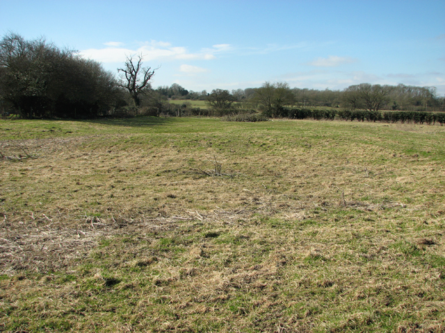
Earthworks and cropmarks in fields to the S and SE of the abbey which are visible on Digital Globe aerial photograph taken between November 2011 and March 2012 may be related to the medieval settlement of the Manor of Owneybeg. Similar cropmarks to the E, S and W of the graveyard (LI014-014003-) are visible on Cambridge University aerial photographs taken in 1968 (CUCAP AVQ093). Several earthworks are visible on the ground with terracing to the SE of the abbey. In this field there is a possible ridge and furrow system in the N, and a potential house platform (25m N-S; 20m E-W) and hollow way (Wth. 4.4m) were identified in the W quadrant.
Compiled by: Caimin O'Brien and Matt Kelleher
Date of upload: 28 June 2017
The monument record does not grant public access. Check the route and ask the landowner before entering private land.