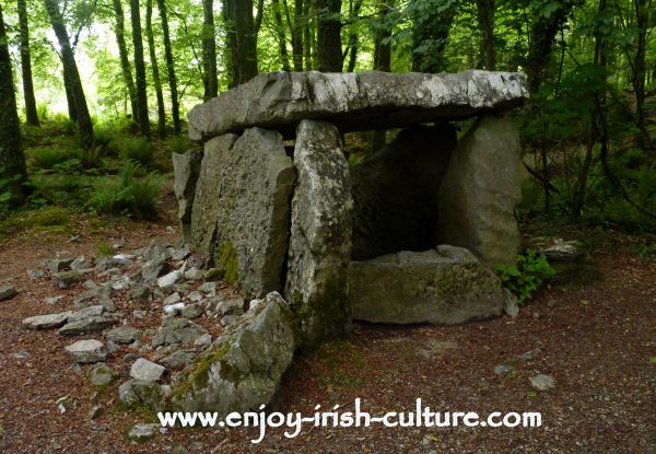
Add your own picture and explain the route, parking, gates, paths or landmarks that help people find it.
Earn 5 points after the picture is checked and accepted.
Add your photo and local directionsShare what you foundWhat is recorded here
Identified during archaeological monitoring associated with the N20/N21 Limerick Bypass. Excavated under licence no. 99E0364 by Mary B. Deevy during which four phases of activity were identified (Deevy 1999) and described as following; 'The earliest phase consisted of one large and two shallow pits, all filled with charcoal-rich soil and fragmented sandstone. The three pits were probably all troughs. Associated with the troughs were a number of very shallow pits or depressions filled with the same burnt material, some of which may have been hearths. Evidence for wooden structures was recovered in the form of stake-holes in the corners of the two shallow troughs and a short row of stake-holes nearby, which may have been a windbreak. No artefacts or animal bone were recovered from any of these features.
The second and third phases of activity were represented by three straight, linear ditches, which were relatively modern field drains. The fill of part of one of these ditches was composed of displaced burnt material, indicating that the earlier, Phase 1, features had been disturbed at some stage by land development. It may be that a shallow mound or spread of burnt material was originally present and that Phase 1 represents the basal remains of a badly truncated fulacht fiadh. Another phase of activity was represented by a series of furrows. These were later than Phase 1, but it was not possible to identify their chronological relationship with Phases 2 and 3’ (www.excavations.ie 1999; Deevy 2000, 163-4).
Compiled by: Martin Fitzpatrick
Date upload: 29 June 2020
The monument record does not grant public access. Check the route and ask the landowner before entering private land.