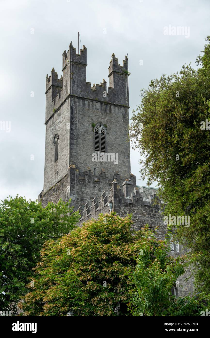
Add your own picture and explain the route, parking, gates, paths or landmarks that help people find it.
Earn 5 points after the picture is checked and accepted.
Add your photo and local directionsShare what you foundWhat is recorded here
Situated on the SE-facing slope of a steep hill in rolling pasture c. 20m N of a field boundary and 20m S of a small limestone quarry. There are good views to NE, E and SE. Sub-circular area (diam. 8.5m) defined by a gentle scarp (Wth. 1.9m; D 0.5m). Several stones are visible in the scarp and in the centre of the site. The mound is uneven, and is partly denuded.
The monument record does not grant public access. Check the route and ask the landowner before entering private land.