Add your own picture and explain the route, parking, gates, paths or landmarks that help people find it.
Earn 5 points after the picture is checked and accepted.
Add your photo and local directionsShare what you foundWhat is recorded here
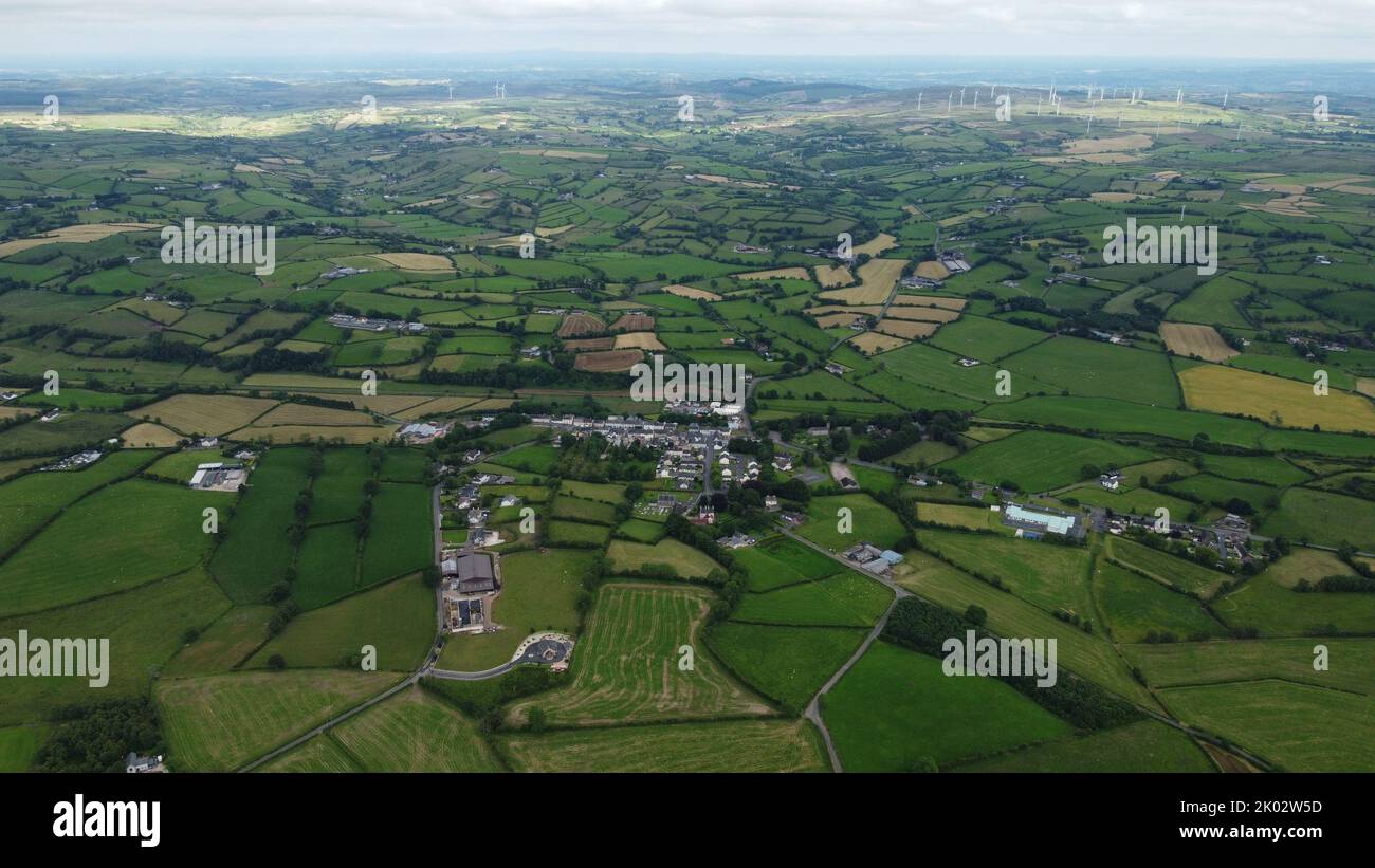
Situated on W facing slope of a gentle ridge in rolling pasture, an enclosure (LI013-068003----) lies c. 10m to the NW and ringfort (LI013-068002----) 40m to the NW. Recorded as linear features by Celie O'Rahilly in 1995. The site was inspected in 2004 and described as a possible field system consisting of a ridge that has been scarped (Wth 6m; H 1m) and a bank (L 30m; Wth 3.2m; H 0.2m) runs from the scarp down the slope to W. Cropmark of possible field system visible on Digital Globe orthophoto taken 2011-13. Cropmark of field system visible on Google Earth orthoimages.
See attached Google Earth orthophotos
Complied by: Fiona Rooney
Date upload: 29 June 2020
The monument record does not grant public access. Check the route and ask the landowner before entering private land.