Add your own picture and explain the route, parking, gates, paths or landmarks that help people find it.
Earn 5 points after the picture is checked and accepted.
Add your photo and local directionsShare what you foundWhat is recorded here
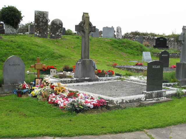
Situated immediately NE of a minor road, in gently undulating pasture. The graveyard is still used. It is enclosed by a wall (H 1m), partly of dry-stone construction and partly mortared. The focus of the graveyard is a sub-oval embankment (H 1.3m) which slopes sharply down to S, SW and E, an which slopes more gently down to W, N and NE. Most of the graves are oriented ENE by WSW, but there is a cluster in the N part of the yard which are oriented E-W. The earliest monuments date from the 18th Century and are upright limestone slabs. According to Westropp (1904-5, 365) the remains of Derrygalvan Church (LI013-026001-) stood in the graveyard up to around 1840.
Compiled by: Denis Power
Date of upload: 26 March 2013
The monument record does not grant public access. Check the route and ask the landowner before entering private land.