Add your own picture and explain the route, parking, gates, paths or landmarks that help people find it.
Earn 5 points after the picture is checked and accepted.
Add your photo and local directionsShare what you foundWhat is recorded here
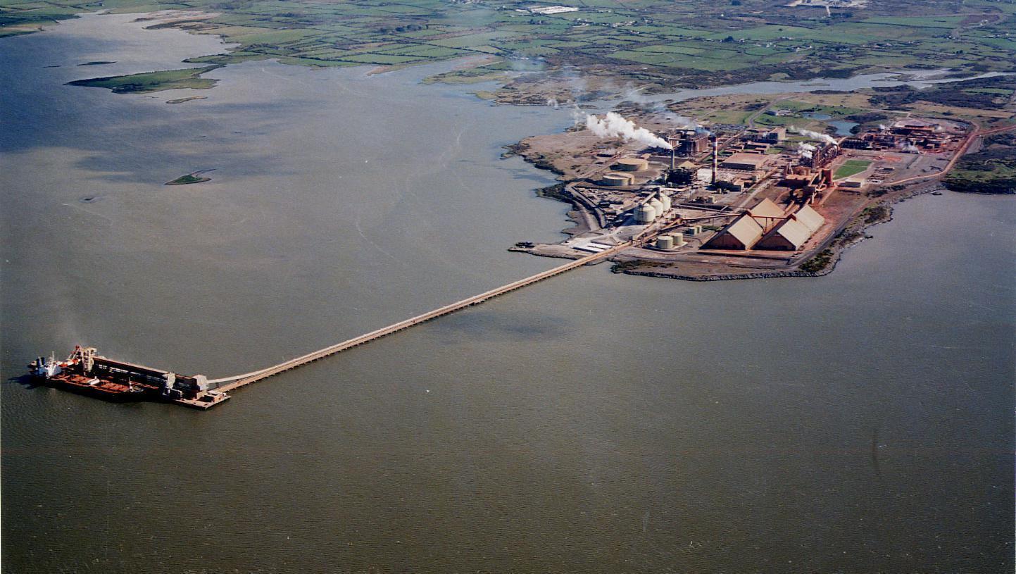
On NW-facing slope of N-S ridge, on Aughinish Island overlooking the River Shannon; site now part of industrial complex (Aughinish Alumina). Excavated in 1974 prior to industrial development (Hickey 1973-4). Consists of ovoid area (56.5m N-S; 45m E-W) enclosed by 'stone bank covered in grass' which was truncated E->NW by 'a modern dry-stone fence' (ibid., 17, fig. 2). Excavation of interior revealed 'an absence of stratigraphy' with c. 0.25m of topsoil lying directly on limestone bedrock or a hard yellowish subsoil. Sections through the bank showed 'it was built on a thin layer of topsoil and was a dry-stone bank of flimsy construction' (ibid., 17, fig. 2 & 4). In SW quadrant of interior 'eight graves were uncovered occupying a small area ... they were aligned E-W and set closely together' (ibid., 19). The graves had been disturbed by agricultural activity but contained 'the skeletal remains of twelve individuals, male and female, whose ages ranged from infancy through adolescence to old age' (ibid.); no grave goods or any other datable material was recovered with the burials. Some animal bones were recovered both from interior and underneath enclosing bank, mostly from sheep; these led the excavator to conclude that the enclosure probably functioned as a sheep-fold (ibid., 23-4). Amongst the stray finds recovered was a shard from 'Belgium or Northern France ... probably of 16th or early 17th century date' (ibid., 21).
Four separate phases of activity were discernible: some iron smelting took place here before the enclosure was built; then the enclosure was built, probably as a sheep-fold; at some stage part of the enclosure was used as a burial ground; and finally the enclosure fell into disrepair (ibid., 23). The excavator suggests that the most likely date for the sheep-fold was between 1666 and c. 1750 (ibid., 24).
A similar feature was excavated at the same time 500m to the N (see LI010-019---).
Compiled by: Denis Power
Date of upload: 26 August 2011
The monument record does not grant public access. Check the route and ask the landowner before entering private land.