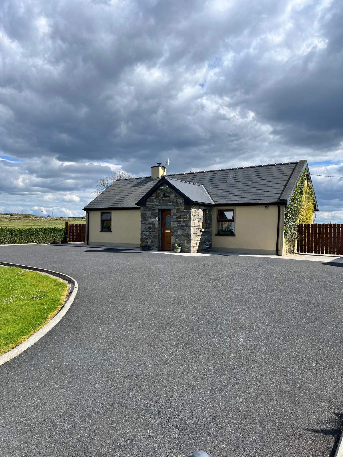
Add your own picture and explain the route, parking, gates, paths or landmarks that help people find it.
Earn 5 points after the picture is checked and accepted.
Add your photo and local directionsShare what you foundWhat is recorded here
On the southern slopes of Annagh Hill in pasture. The site is described from cartographic and aerial photographic evidence only. Depicted as an oval-shaped enclosure (approx. diam. 28m) on the 1840 ed. OS 6-inch map. Shown as a semi-circular shaped earthwork with curving field boundary to W on the 1897 OS 25-inch map, indicating that the monument was partially levelled between these dates. Curving field boundary on W side of monument represents the original enclosing bank that has been incorporated into the present field boundary. Curving field boundary on W side of partially levelled earthwork visible on Google Earth orthophotos taken 28/06/2018.
See attached Google Earth orthoimage taken 28/06/2018
Compiled by: Edmond O’Donovan
Date of upload: 11 July 2020
The monument record does not grant public access. Check the route and ask the landowner before entering private land.