Add your own picture and explain the route, parking, gates, paths or landmarks that help people find it.
Earn 5 points after the picture is checked and accepted.
Add your photo and local directionsShare what you foundWhat is recorded here
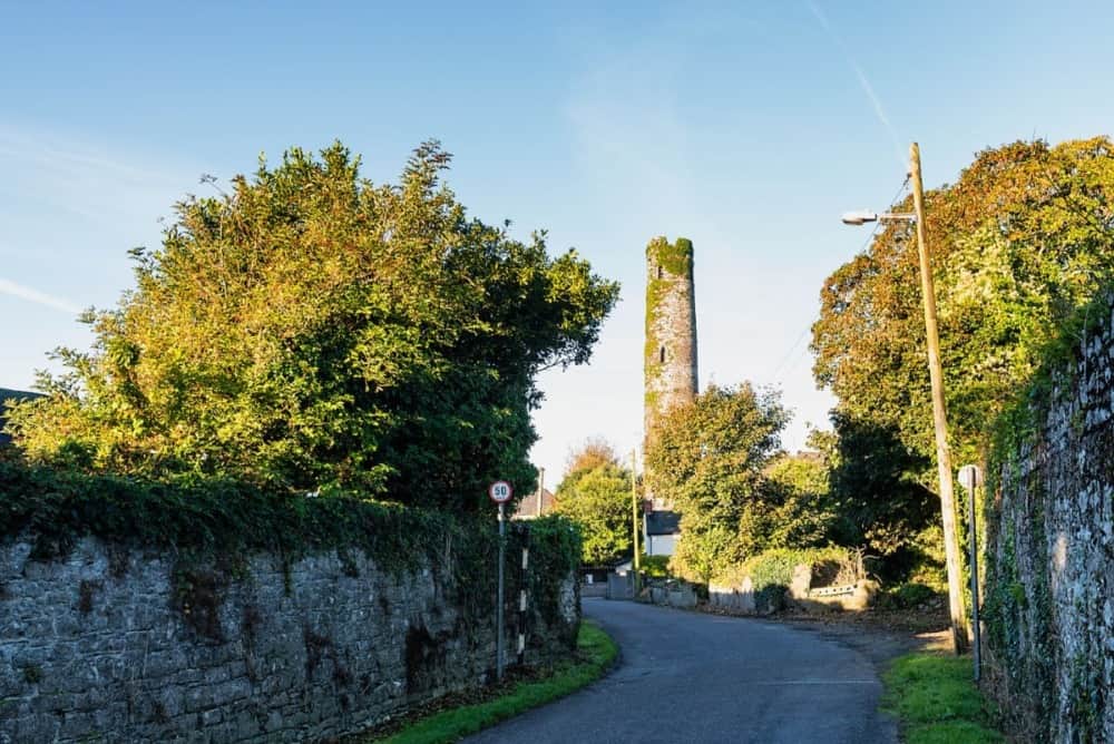
No surface remains visible of site of round tower which is shown on the revised ed. OS 6-inch map as located in SW corner of St. Patrick's Graveyard (LI004-029002-). Westropp (1904-5) recorded the following details about this site; 'The graveyard alone remains. A broken round tower and ruined church [LI005-029001-] are shown on the Down Survey map, 1657 (p. 13), and were levelled in 1776 (Fitzgerald, ii., p 561)'. The Down Survey map of South Liberties Barony shows a a tower attached to the W end of St Patrick's church with cross rising from top of building (Hib. Reg.). This tower is more likely the remains of a residential tower attached to the west end of St Patrick's Church rather than the remains of a round tower. This tower is clearly visible on the Down Survey map of St. Patrick's Parish (NLI, MS 718).
See attached images of church and tower taken from Down Survey Barony map of South Liberties and from St. Patricks Parish map.
Compiled by: Caimin O'Brien
Date of upload: 8 June 2020
The monument record does not grant public access. Check the route and ask the landowner before entering private land.