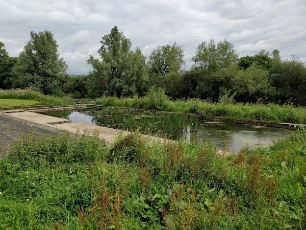
Add your own picture and explain the route, parking, gates, paths or landmarks that help people find it.
Earn 5 points after the picture is checked and accepted.
Add your photo and local directionsShare what you foundWhat is recorded here
In generally level, poorly drained pasture, on the floodplain of the River Shannon and Abbey River, c. 250m to W and c. 180m to S, respectively. Depicted on the 1841 ed. OS 6-inch map and on the revised 1938 ed. OS 25-inch map as a circular-shaped mound (approx. overall diam. 16m). Visible as a roughly circular-shaped light-brown cropmark (diam. 16m) on Google Earth orthoimage taken 19/11/2019.
See attached Google Earth orthoimage 19/11/2019.
Compiled by: Alison McQueen and Vera Rahilly
Date of upload: 22 June 2020
The monument record does not grant public access. Check the route and ask the landowner before entering private land.