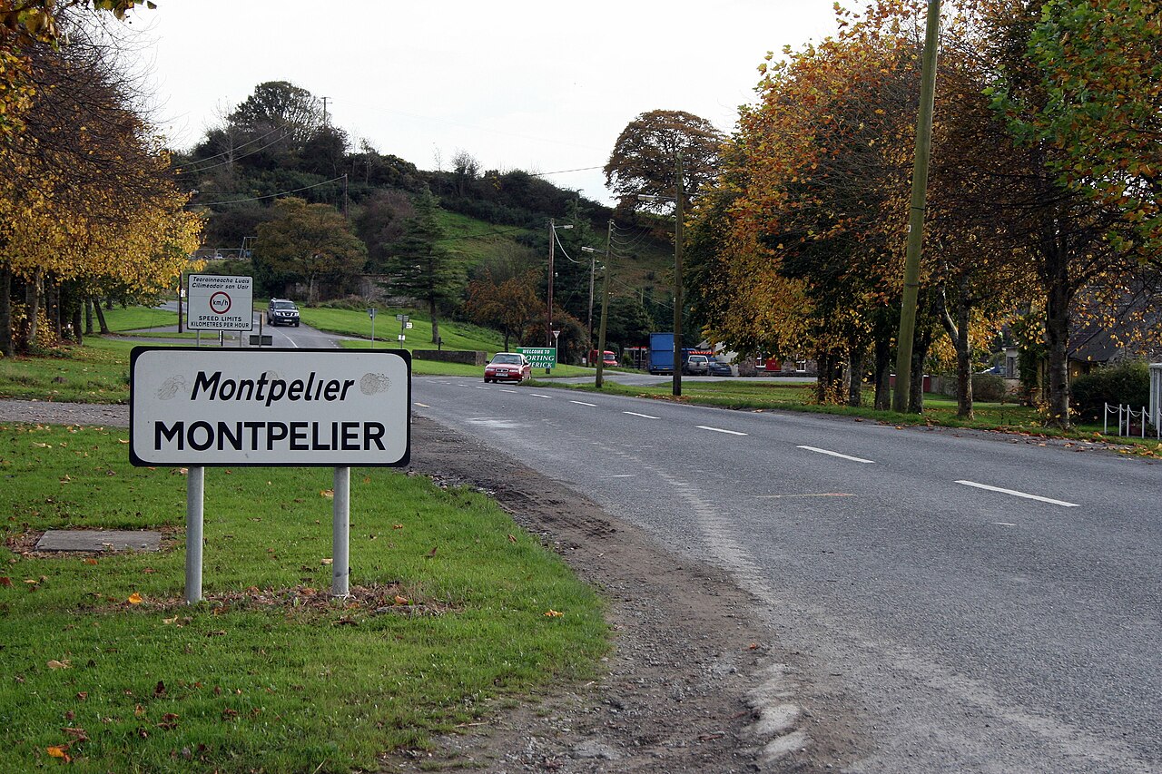
Add your own picture and explain the route, parking, gates, paths or landmarks that help people find it.
Earn 5 points after the picture is checked and accepted.
Add your photo and local directionsShare what you foundWhat is recorded here
Gaelic castle built in the early 16th century at the Limerick end of O'Brien's Bridge (LI001-005----) (Hodkinson 1998, 22-23). The townland of Montpelier was formerly known as 'Portcrushy' (Lower and Upper Portcrusha) as annotated on the 1654-8 Down Survey map of Stradbally parish (NLI, MS 718) and 'Lower Portcrushy' as annotated on the Down Survey map of Clanwilliam Barony (Hib. Reg.). The adjoining townland of Portcrusha lies to the S of Montpelier. The present multi-period stone bridge was first built in the late 17th century and was probably built on the site of a medieval stone and or timber bridge built in the early 16th century that was destroyed towards the ends of that century. The medieval stone bridge was defended by two castles, one standing on the Limerick side (LI001-014---) of the River Shannon and the second castle (CL054-015----) on the County Clare side.
The bridge and its castles were described in 1536 by the English as following; 'On Saterday we came to the said bridge, and after the hoost was encamped, the Deputie with the gunners viewed the same. On this side [Limerick] was a strong castell, buylded all of hewen marbell; and at thother ende [Clare] another castell, but not of such force, booth buylde within the water, somewhat distaunt from the lande. At this eande they had broken 4 arches of the bridge, betwixt the castell and the lande. The gunners bent all the ordenaunce upon the grete castell, on this side, shotynge at it all that day; but the castell was of soch force, that thordenaunce ded in maner no hurte to yt, for the wall was at the lest 12 or 13 fote [4m] thick, and both the castels wer well warded with gunners, galowglas, and horsemen, havyng made suche forifications of tymber, and hoggesheedes of erthe' (Anon. 1834, 351). The destruction of the castles and the bridge by the English was completed the following day when, the Lord Deputy 'caused every of tharmy to make a fagott of a fadome in length to fill that parte of the water betwixt the lande and the castell [LI001-014----], and divised certain ladders to be made; which done, he appoynted a certayne of his awen retynew, and a company of Maister Sayntclows to gyve thassaulte; which we assure you they executed hardely, so as with playne manhode and force the scaled the bridge, which thothers perceyveng, scope oute at thother ende therof, by footemanship; and so they lost booth the bridge, the castels, ther ordenaunce, and all that was els therin; which castels and bridge the Deputie and we have caused to be broken downe to the grounde'(ibid., 352).
The two castles (LI001-014----;CL054-015----) defending the bridge are mentioned in 1538 when 'James of Desmond [was] commanded to cast down the strong castles built on O'Brien's Bridge' (Cal. S.P. Ire.,42)'.
It is possible that this is the castle referred to in a diary kept by a Parliamentarian officer during the campaign of 1650. With reference to O’Brien’s Bridge the entry for 1 June 1650 records that ‘It hath the name of a bridge if any had beene there aunciently which might occasion the name, yet were there not now so much as the ruins of any such thing. Toward the other shore and in the water standeth the stump of an old castle. This we hoped to possesse by ladders to that end prepared, and having gained it to cleere at least in part the contrary shore for a landing place for more men to be sent after. On the land and neere the water were the ruinses of an old house wherein was a guard of the enemies for opposeing our landing. This also being gained might be (as we conceived) some defence for the present, joyned with that of the castle answering it. We had also prepared pallisadoes, and turne-pikes for a suddaine entrenchment untill we could worke ourselves into more security and thereby secure a place for our landing at leasure when thereunto fitted, which was not at present hoped for.’ At daybreak on the following day ‘Capt. Draper (of Coll. Sadlers regiment) ordered by his Ex[cellency; Henry Ireton commander of the New Model Army in Ireland] to fall downe the river with 3 files of firelockes, and to passe to the opposite shore at Brians bridge, resolutely performed his worke and notwithstanding the opposition made he gained the house on the other side. The castle also in the water was possessed by others appointed to that worke. Those first landing were ordered to fasten long ropes or cables to the shoare whereby boats might be towed over, which was done and was of great use for our speedy passing over, so as within an houre we had landed 500 men on Thomond side of the water. The enemy at first with some horse and foote gave opposition but by the loud shoutings of our men from the other side and sounding of trumpets and discharging our great shot, and by shot made from the castle and house last taken, it pleased God to strike such terror into their hearts that they quitted their worke and fled.’ (Gilbert 1879-80, iii, 230-1)
It should be noted that the castle is referred to above as standing in the water which would suggest that it was in or near the centre of the river. The entry also references the ruins of an old house on the opposite shore.
Compiled by: Paul Walsh
Revised by: Caimin O'Brien
Date of revised upload: 30 April 2020
This remains an important historical record, but the official description says the monument is no longer visible or has been destroyed.
The monument record does not grant public access. Check the route and ask the landowner before entering private land.