Add your own picture and explain the route, parking, gates, paths or landmarks that help people find it.
Earn 5 points after the picture is checked and accepted.
Add your photo and local directionsShare what you foundWhat is recorded here
The following description is derived from both the published 'Archaeological Inventory of County Louth' (Dublin: Stationery Office, 1986) and the 'Archaeological Survey of County Louth' (Dublin: Stationery Office, 1991). In certain instances the entries have been revised and updated in the light of recent research.
Date of upload/revision: 17 July 2007
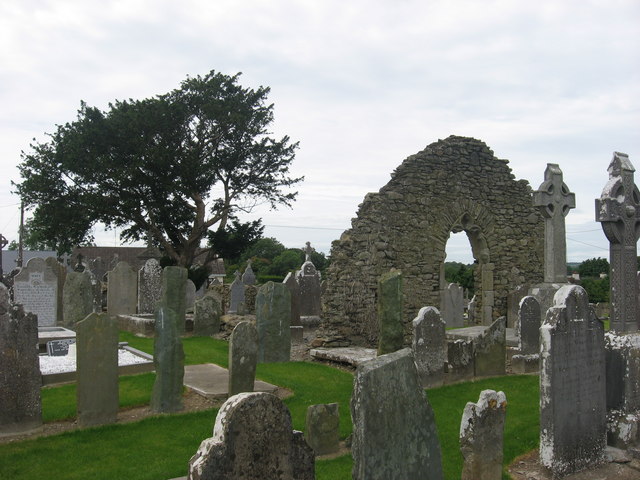
Built of roughly coursed limestone blocks and greywacke, now badly ruined and covered with ivy and grass. Apparently it had an undivided nave and chancel (max. dims. 19.7m by 5.5m) but is now so overgrown that it is not possible to be certain. The W gable probably had a bellcote, but this is now completely destroyed. This wall had the remains of a flat arch over a window embrasure from which all the dressed stone was robbed. The E window has the remains of a two-centred arch with cusped tracery of hard grey sandstone and has glazing grooves and holes. The remains are late medieval, possibly fifteenth-century rather than sixteenth. No other features can be seen because of the poor state of preservation of the building, but a gap in the E end of the grass-covered foundations of the S wall may represent a doorway. (CLAJ 1944, 293-4)
The monument record does not grant public access. Check the route and ask the landowner before entering private land.