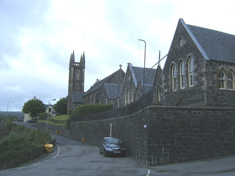
Add your own picture and explain the route, parking, gates, paths or landmarks that help people find it.
Earn 5 points after the picture is checked and accepted.
Add your photo and local directionsShare what you foundWhat is recorded here
Marked as 'Tobar na Solais' on the 1835 and 1912 'OS 6-inch' maps. Also known as St. 'Finan's Well' in the 19th century. According to legend the wells position moved overnight due to butchers polluting it by washing the viscera of animals in it and that lights were seen across the fields as it moved to where it is now. Its waters were believed to benefit those with sore eyes. (Ribton Garstin 1916, 100). The well was closed over at time of inspection by ASI in 1967 but a whitethorn tree was noted and a natural spring flowed into the Barnattin river.
Compiled by: Claire Breen
Date of upload: 19 July 2012
The monument record does not grant public access. Check the route and ask the landowner before entering private land.